


Utah will catch a short-lived break from widespread thunderstorms on Thursday as drier air moves into the state, limiting afternoon storm development for many areas.
The best chance for isolated showers and thunderstorms will be across southern and eastern Utah, while much of northern Utah stays mostly dry. That quieter weather won't last long.
By Friday, monsoonal moisture begins moving back into Utah, bringing increasing chances for afternoon and evening thunderstorms through the weekend. The greatest concern will be across central and southern Utah, where heavy rain could trigger flash flooding, especially near burn scars, slot canyons, and other flood-prone areas.
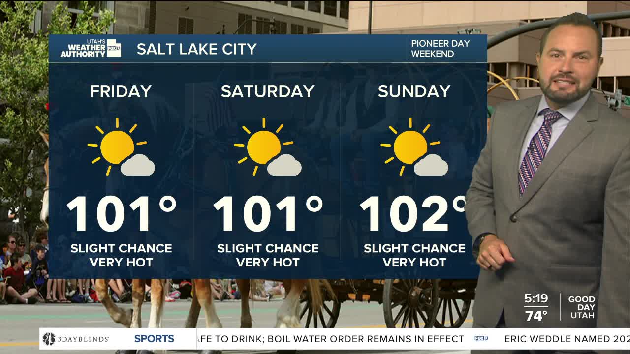
At the same time, temperatures will climb quickly. Highs along the Wasatch Front are expected to return to the upper 90s and low 100s beginning Friday, with warm overnight lows in the 70s providing little relief. The prolonged heat will increase the risk of heat-related illness through at least Monday, particularly for those spending extended time outdoors.
If you have weekend plans, be prepared for both the heat and the potential for rapidly developing afternoon thunderstorms.