

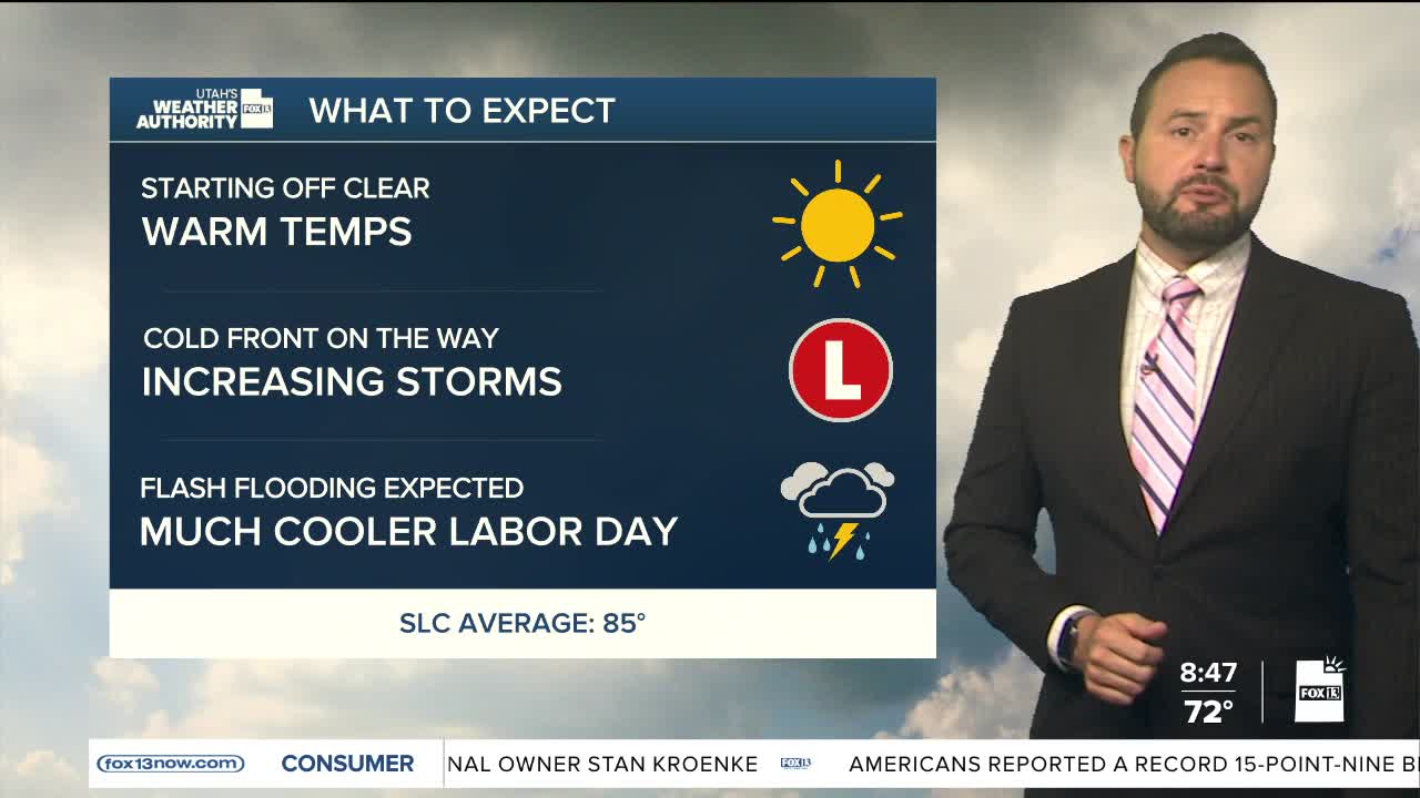

Clear skies up north Sunday morning while cloud cover and showers are increasing over southern Utah. However, all areas will see impacts from tropical moisture moving into the state throughout the day today.
As tropical moisture surges north, it will bring a growing threat for heavy rain and flash flooding, especially across southwest and central Utah.
A Flood Watch remains in effect, with the greatest concern for burn scars, slot canyons, dry washes and other flood-prone areas. Some thunderstorms could produce rainfall rates of 0.5 to 1 inch per hour, and storms may repeatedly move over the same areas.

Meanwhile, gusty southwest winds of 25 to 40 mph will continue through Sunday afternoon, mainly west of I-15. Isolated severe thunderstorms are also possible across parts of northwest Utah, with strong wind gusts and small hail. This is thanks to a cold front moving into the region from the northwest this evening.
The front will sweep through northern Utah late tonight, clearing moisture out for Labor Day. Plan on cooler temperatures Monday behind the cold front, warming back toward seasonal levels Tuesday.