

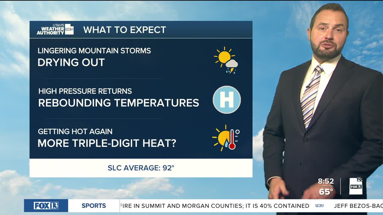

After a very active week of monsoon moisture, we’re drying things out across the state this weekend.
A few isolated thunderstorms could pop up this afternoon and evening, mainly across southwestern and northeastern Utah. Most areas stay dry, but any storm in southwestern Utah could produce some locally heavy rain.
Temperatures will gradually warm through the weekend, but we’ll still run about 5 to 8 degrees below average for mid-August. Daytime highs will reach the mid-80s along the Wasatch Front with low 90's for St. George.
Looking ahead, increasing southwest winds early in the week spread to central and southern Utah. That could lead to elevated to locally critical fire weather conditions Tuesday into Wednesday. Otherwise, high pressure is building back in, bringing a return to above-normal temperatures and potentially a shift in moisture heading into next weekend.
