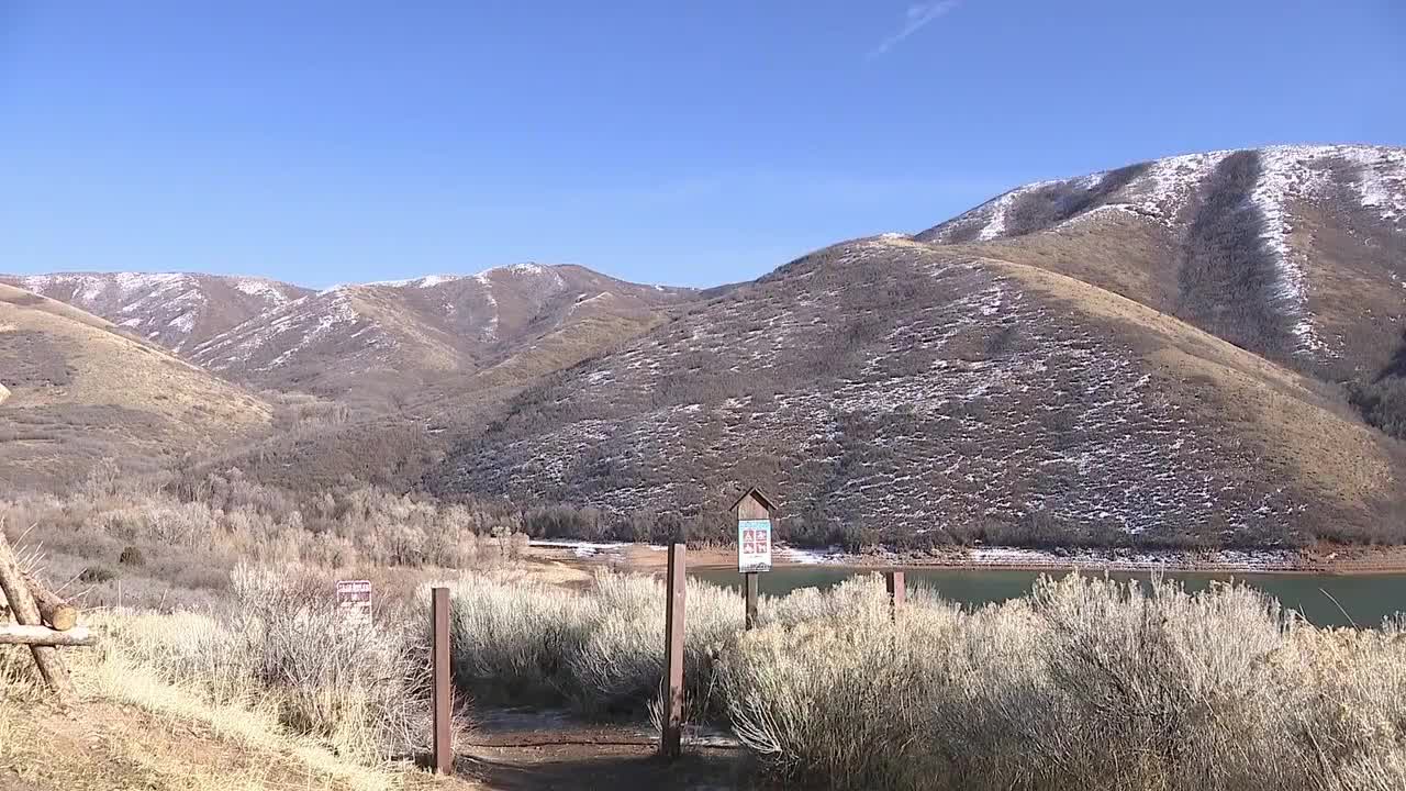


SUMMIT COUNTY, Utah — Bare hillsides and patchy snow in Parleys Canyon tell the story before the numbers even do: Utah’s snowpack has dropped into uncharted territory, and not the good kind.
New data from the Utah Snow Survey shows statewide snowpack has fallen to the lowest level ever recorded for this point in the season. By the end of January, average snow water equivalent dipped below the previous record low, marking the worst start since the SNOTEL monitoring era began in 1980.
Nearly one-third of Utah’s snow-monitoring sites are now reporting their worst or second-worst snowpack on record. Several major river basins — including the Weber-Ogden and Provo–Utah Lake regions — have already set new lows for late January.
Jordan Clayton, supervisor of the NRCS Utah Snow Survey, says the state is facing a massive deficit with limited time left to recover.
“We only have about one-third of the water content in our snowpack that we would see at a typical peak,” Clayton said. “So in other words, we need to make up about two-thirds of our winter in about two months.”
What’s making matters worse isn’t just how low snowpack is — it’s how far behind normal Utah continues to fall. Snowpack typically builds steadily through February and March, but this year that curve has flattened out, widening the gap between current conditions and average levels with each passing day.
WATCH: Bleak snowpack report triggers alarm on Utah's Capitol Hill
Clayton says the odds of catching up are slim.
“Every day our difference from normal gets worse,” he said. “What we really want is to start catching up to normal or above, and the chances for that unfortunately are about 20 percent or lower at this point.”
That outlook has water managers keeping a close eye on spring and summer. Along the Wasatch Front, reservoirs are already running about 10 percent below normal for this time of year, and expectations for spring runoff are shrinking.
Shazelle Terry, chief operating officer for the Jordan Valley Water Conservancy District, says they’re not expecting reservoirs to fill this year.
“We are in dire straits in terms of snowpack, and the reservoirs are about 10 percent lower than they typically are this time of year,” Terry said. “For the Provo River basin, we’re probably looking at 70 to 75 percent runoff.”
Terry says a hot, dry spring could push water demand up quickly, while a slower warmup could help ease pressure. For now, the message is conservation — but without panic.
“We’ve had a couple of normal years, and it seemed OK, and then all of a sudden everyone’s thinking about it again,” Terry said. “Our message is to be thinking about it as much as is reasonable all the time. We live or die by our snowpack and reservoirs.”
With roughly two months left in the typical snow season, every storm still matters. But as Utah heads toward spring, the state is doing so with a record-low start — and little margin for error and so experts remind us that conservation remains key as we head into the warmer months, and delaying any watering early in spring will help.
