

The heat is still on! It's going to be another hot day with temps climbing about 10 degrees above average.
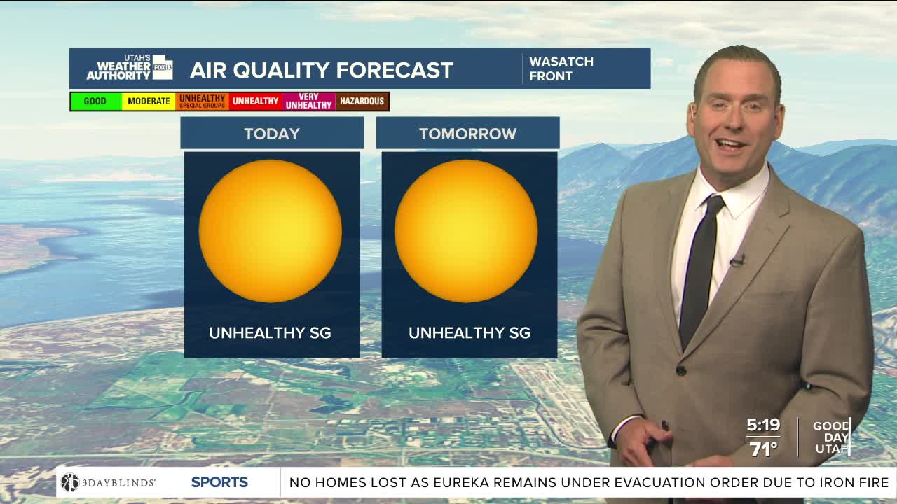
We're socked in with patchy smoke from area wildfires and unfortunately it looks like fire danger will remain high all week. Fire danger is highest in Southern Utah today.
Moisture moving north into the state will bring a chance of showers & t-storms in Central & Southern UT Wednesday. At first, the storms will likely be dry. If they bring gusty winds and dry lightning, new fires could be sparked. But by later in the day, storms could bring rain. If it's heavy enough, there's a possibility of flash flooding in typical trouble spots across the south like slot canyons.
There's a good chance of strong SW winds on Friday & Saturday which could lead to critical fire danger. The winds are ahead of a cold front that will knock temperatures down dramatically by the end of the weekend!
SALT LAKE CITY
Tuesday: Sunny & hot with patchy smoke. Highs: Mid 90s.
Tuesday Night: Mostly clear. Lows: Upper 60s.
ST. GEORGE
Tuesday: Sunny & very hot. Highs: Near 105.
Tuesday Night: Clear in the evening, then increasing clouds tonight. Lows: Near 80.
