Weather

Actions

Warm and windy Sunday

Sunday Morning Weather Forecast
Posted

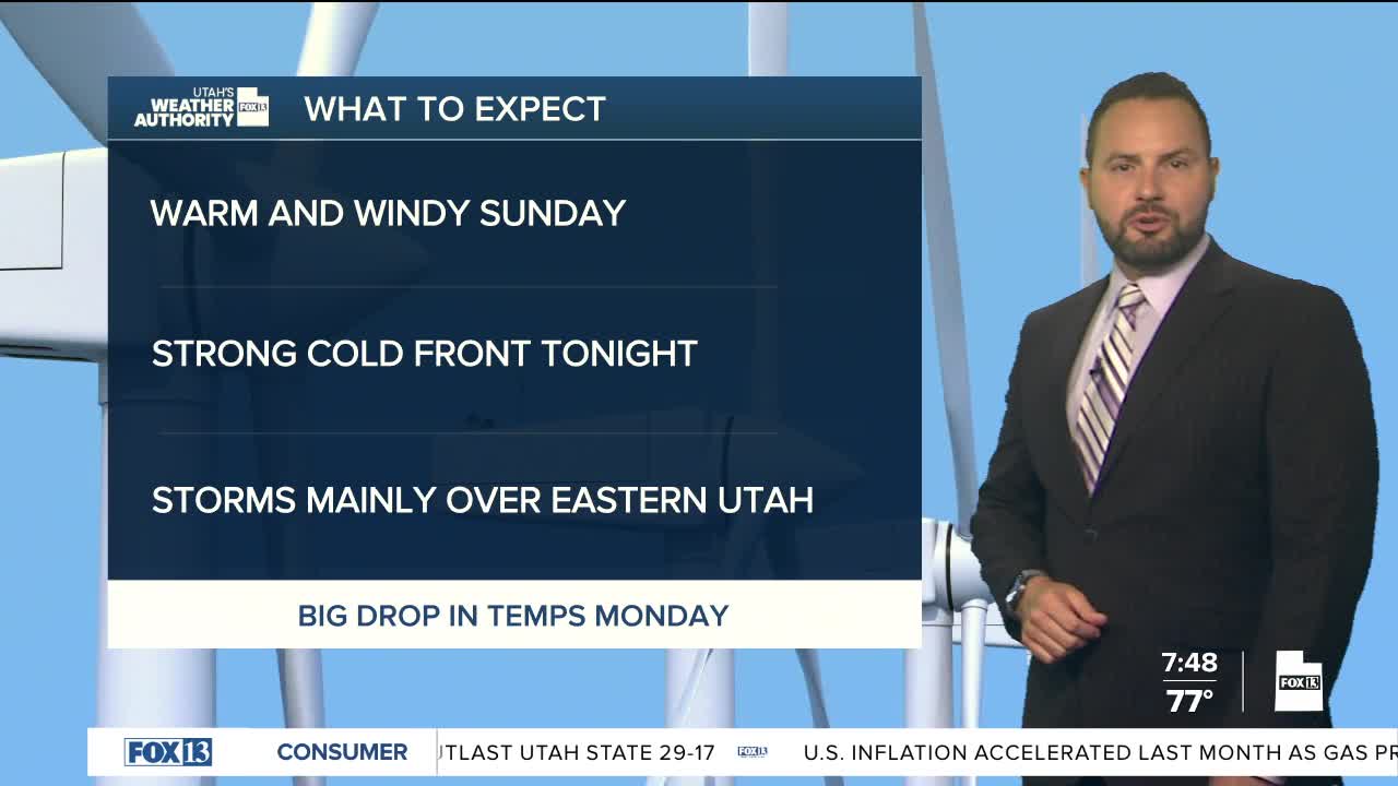
Warm and windy weather continues Sunday ahead of a strong cold front later tonight. Winds out of the southwest of 15-25 mph are expected with gusts up to 40 mph possible across western Utah.

Graphics from the FOX 13 Weather Center showing the predicted wind speeds. From top to bottom, left to right: Logan 17 miles per hour, Elko 30 miles per hour, Wendover 19 miles per hour, Evanston 33 miles per hour, Rock Springs 27 miles per hour, Salt Lake 18 miles per hour, Vernal 19 miles per hour, Ely 29 miles per hour, Delta 37 miles per hour, Provo 26 miles per hour, Price 20 miles per hour, Grand Junction 17 miles per hour, Milford 38 miles per hour, Moab 26 miles per hour, Bryce Canyon 23 miles per hour, Cedar City 33 miles per hour, Blanding 17 miles per hour, St. George 30 miles per hour, Page 17 miles per hour.

The front will then bring cooler and drier air to the northwest half of the state on Monday. Daytime highs will fall into the mid 70's for northern Utah by Monday afternoon.

Meanwhile, monsoon moisture will linger across southeast Utah, keeping an isolated flash flood threat in place into Monday. A few showers and thunderstorms could produce heavy rain.

Graphics from the FOX 13 Weather Center showing the 5-Day Precipitation Outlook. Light to moderate showers are predicted throughout the week, mainly in eastern Utah.

Monsoon moisture is expected to linger this week with daily shower development for eastern Utah. Meanwhile, temperatures across the state will moderate Tuesday with near -average highs expected statewide.

REAL-TIME WEATHER: Get the latest weather forecasts by downloading the FREE Utah Weather Authority app