

One more warm day before a storm moves in!
Breezy SW winds will help temps climb about 8-18 degrees above average today, so it'll be a great day to be out and about. The problem is that winds across Western Utah & Eastern Nevada could gust up to 35-45 mph, so there might be blowing dust. Make sure to secure anything you don't want to get blown around!
That's all ahead of a cold front that will slide across the area later tonight & tomorrow. Light valley rain & mountain snow will develop across the north overnight then largely taper off by midday Thursday.
It's going to get a lot cooler behind the front. Temps will drop down into the mid to upper 50s along the Wasatch Front, which is average for early November.
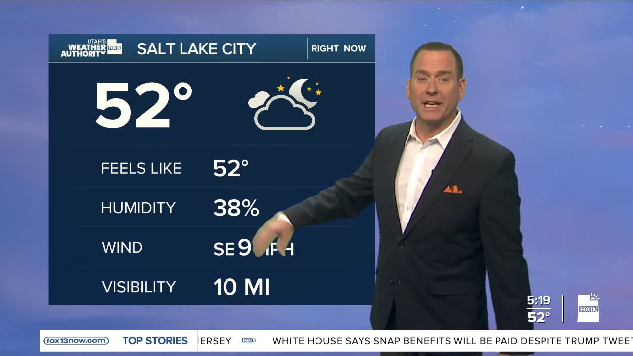
SALT LAKE CITY
Wednesday: Partly cloudy in the morning, then becoming mostly cloudy. Breezy with south winds 10 to 15 mph. Highs: Low 70s.
Wednesday Night: Mostly cloudy with a chance of rain after midnight. Lows: Upper 40s.
ST. GEORGE
Wednesday: Becoming partly cloudy. Highs: Near 80.
Wednesday Night: Partly cloudy. Lows: Near 50.
