

Some warm weather to get over the mid-week hump!
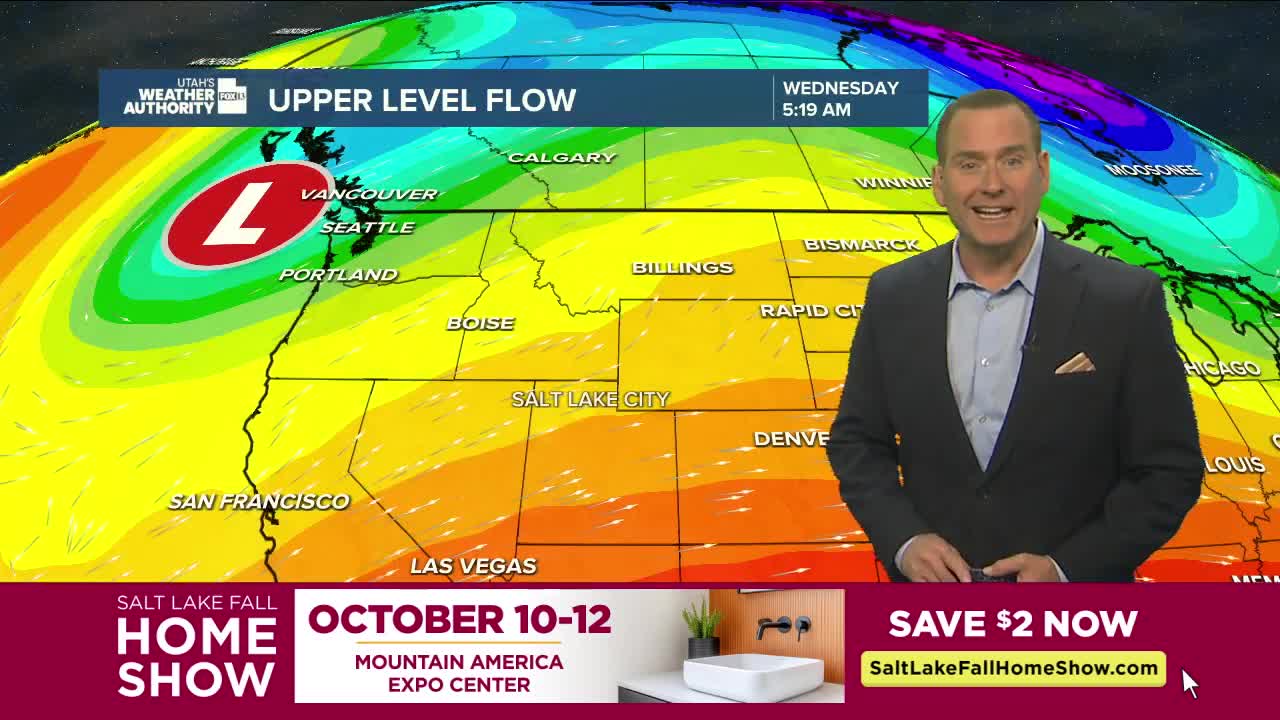
Breezy south winds will help temps climb back above average today. South/SW winds could gust up to 20-30 mph across Southern & Central Utah, as well as over the Northern Mountains.
Leftover moisture from Hurricane Priscilla (off the coast of Baja, Mexico) will move into the south late tonight and tomorrow, bringing the next round of showers & t-storms. Rain will become more widespread on Friday & Saturday with the threat of flash flooding the highest across the south and east.
A cold front will slide across Utah late Saturday into Sunday. As cold air spills in, mountain snow will be possible down to about 7,500 ft. It'll dry out and get a lot colder behind the front by the end of the weekend.
SALT LAKE CITY
Wednesday: Sunny & warmer. Highs: Mid 70s.
Wednesday Night: Mostly clear. Lows: Mid 50s.
ST. GEORGE
Wednesday: Sunny. Highs: Near 90.
Wednesday Night: Mostly clear. Lows: Lower 60s.
