

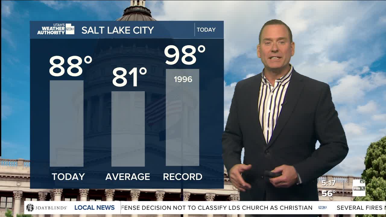


Warmer weather is back! Winds out of the south to southwest will help temperatures climb several degrees higher than yesterday, putting us back up above average for early June.
The winds could gust up to 30 to 40 mph, especially across Central & Southern Utah. That could create areas of blowing dust and keep fire danger high.
The winds are ahead of a mostly dry cold front that will slide across the north tomorrow morning and then stall in Central Utah by afternoon. Besides knocking temps down about 10 degrees, there's a slight chance of t-storms tomorrow...mainly north of Salt Lake City.
Temps along the Wasatch Front will climb back into the upper 80s by the end of the work week and into the triple digits in the far south!
SALT LAKE CITY
Monday: Partly cloudy. Highs: Upper 80s.
Monday Night: Mostly cloudy & breezy. SW winds 10-20 mph. Lows: Mid 60s.
ST. GEORGE
Monday: Sunny with patchy blowing dust possible. SW winds 10-20 mph. Highs: Upper 90s.
Monday Night: Evening clouds, then clearing overnight. Lows: Near 70.