

Warming up just in time for the weekend!
The bump in the road is that winds could gust between 25-35 mph in NE Utah. That combined with very low relative humidity is leading to another round of high fire danger with a Red Flag Warning in effect from 1pm - pm today.
Otherwise, it's going to be sunny & very warm this weekend with temps climbing about 5-10 degrees above average.
Dry t-storms possible in Southern UT this weekend, mainly over the mountains. The combination of gusty winds & dry lightning could lead to increased fire danger. There's a slight chance some of the storms could bring rain showers on Sunday.
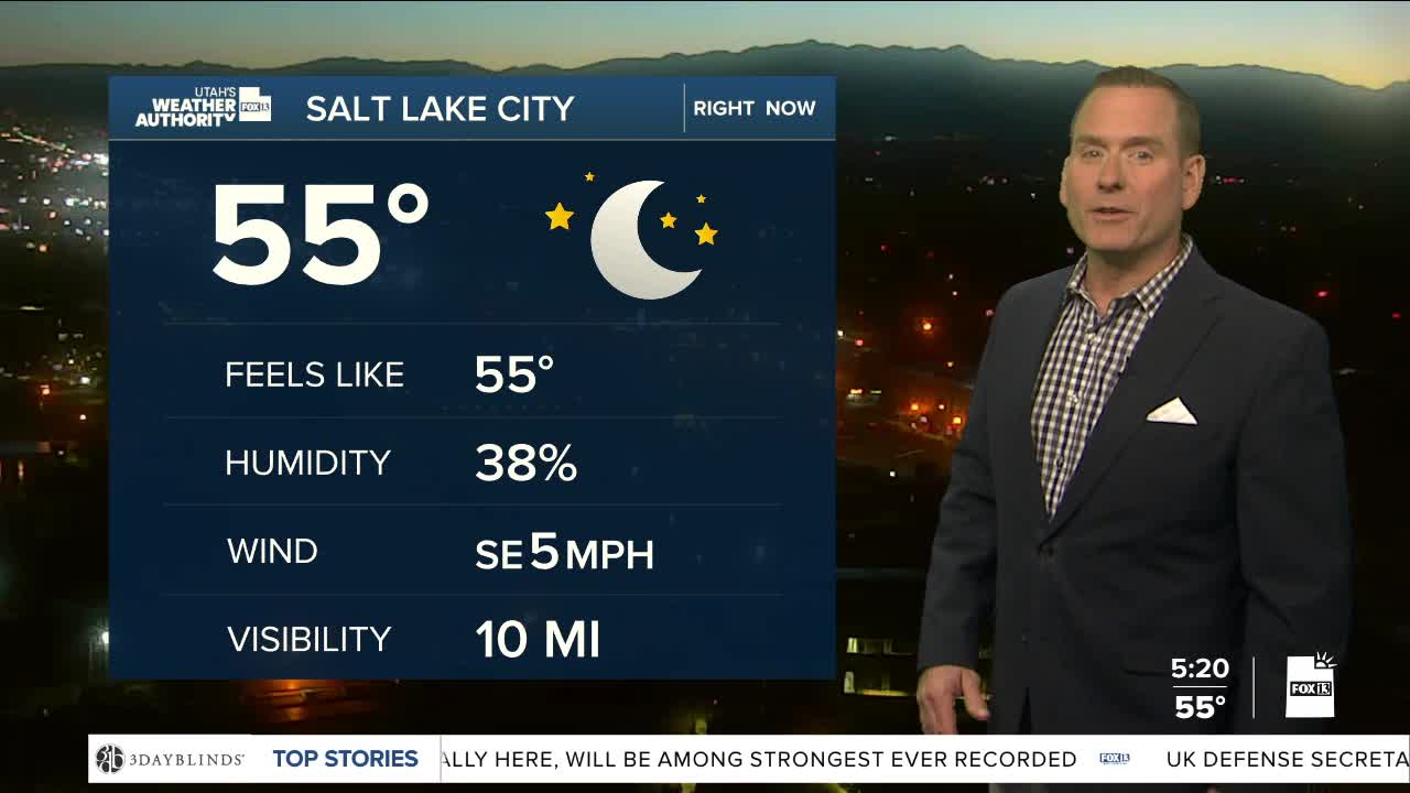
SALT LAKE CITY
Friday: Sunny & warmer. Highs: Mid 80s.
Friday Night: Mostly clear. Lows: Upper 50s.
Saturday: Sunny. Highs: Mid 80s.
Sunday: Sunny. Highs: Mid 80s.
ST. GEORGE
Friday: Sunny & hot. Highs: Near 104.
Friday Night: Mostly clear. Lows: Mid 70s.
Saturday: Sunny with a slight chance of t-storms in the evening. Highs: Near 104.
Sunday: Sunny. Highs: Near 103.
