

High pressure is parked over Utah, and it’s basically put the weather on cruise control. Skies are mostly clear, it’s dry, and temperatures are on the way up. Daytime highs climb to near 50 degrees for many northern valleys today, with a high of 60 degrees expected in St. George.
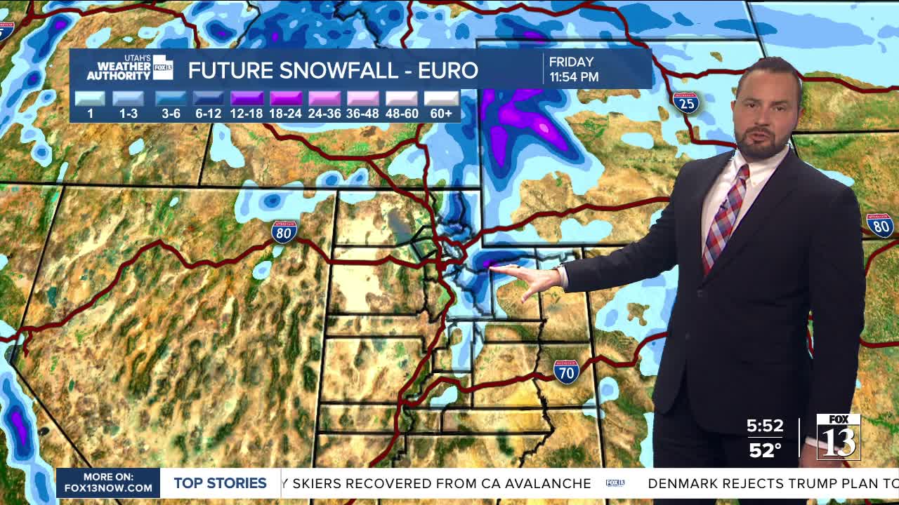
The ridge remains in place through Monday, sliding south and giving us a steady warm-up. This allows highs to run about 10 degrees above average. By Tuesday, the ridge flattens just enough to let some Pacific moisture sneak in. Northern Utah will be first in line for valley rain and mountain snow, with a weak system moving through late Tuesday into Wednesday. A cold front tags along, but this isn’t shaping up to be a heavy hitter. In fact, snow totals in the mountains have trended a bit lower, and valleys look mild enough to stay all rain.
The big question is how far south that system makes it. Northern Utah looks most likely to see the action, while areas farther south may miss out.
After that? High pressure builds in again late Thursday, bringing us back to above normals and mostly dry conditions. There’s a small hint at more moisture next weekend, but for now, that’s more rumor than reality.


