

Everybody on spring break lucked out with the warm weather this week! In fact, temps will be running about 10-15 degrees above normal through Friday.
Take advantage of it while you can, big changes are expected with a change in the weather pattern by this weekend. Winds will increase on Friday ahead of a storm that'll bring widespread valley rain & mountain snow this weekend and into early next week.
Temps will hover in the mid 70s in the northern valleys today and climb into the mid 80s in lower Washington County. It'll likely be about 25 degrees colder by early next week!
SALT LAKE CITY
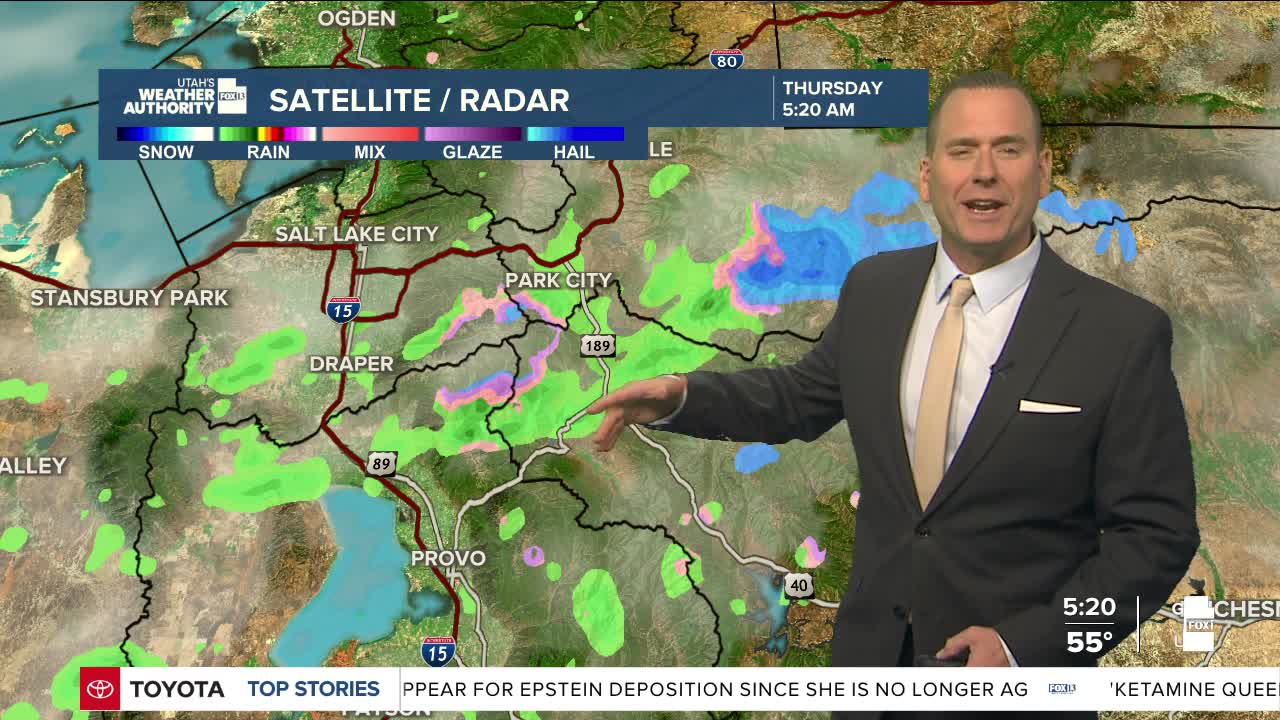
Thursday: Partly cloudy with a 20% chance of showers & t-storms in the afternoon. Highs: Mid 70s.
Thursday Night: Mostly cloudy. Lows: Mid 50s.
ST. GEORGE
Thursday: Partly cloudy. SW winds 10 to 20 mph late in the afternoon. Highs: Mid 80s.
Thursday Night: Partly cloudy. Lows: Upper 50s.
