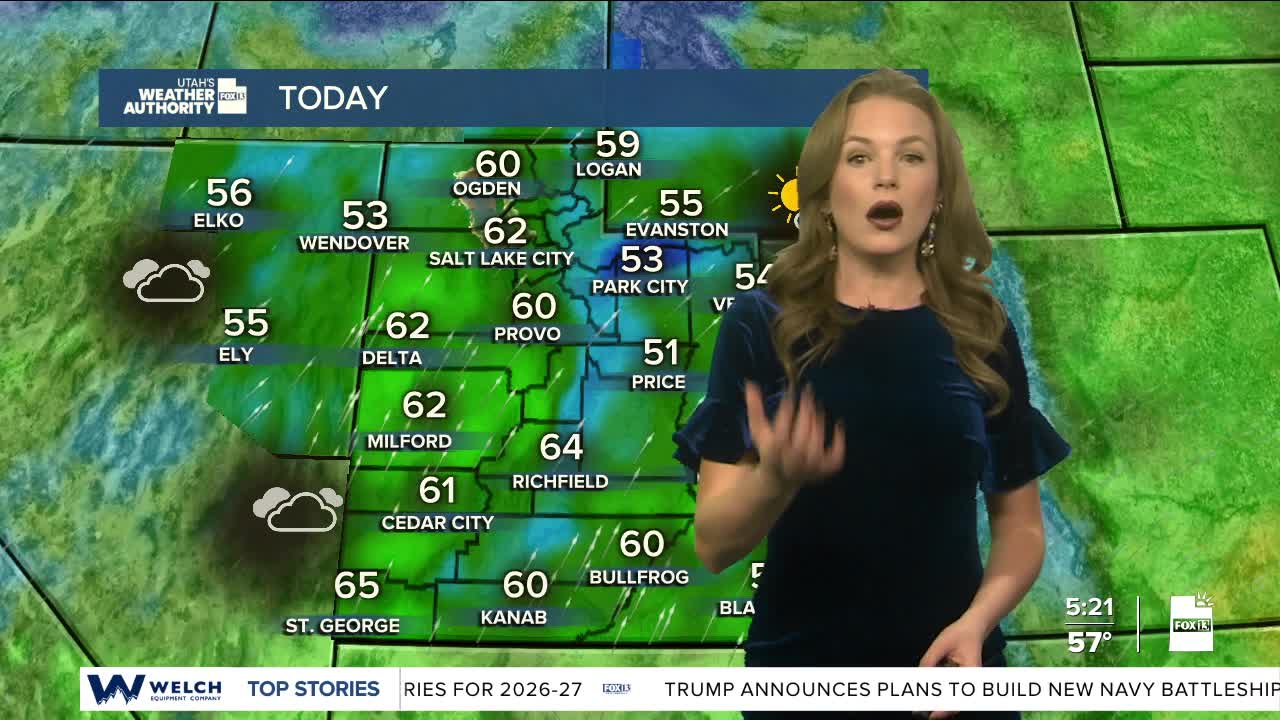


Temperatures will once again be close to 20 degrees above normal today. Near record breaking highs will continue through Thursday.
As a Pacific low moves closer to the four corners, strong winds are expected ahead of the main storm track. Some areas are at risk for wind gusts over 30 mph.
Snow is expected in the high country. The southern mountains above about 8,500 feet and the western Uinta Mountains above about 9,000 feet are forecast to receive 6 to 12 inches of snow from Wednesday into late Thursday. Heavy rain is likely across southern Utah below 8,000 feet.
The Weather Prediction Center has a marginal risk that rainfall could exceed flash‑flood guidance within 25 miles of a point, meaning flash flooding is possible though not likely.
A second, colder system will arrive Friday, pushing snow levels downward. Snow levels could fall to about 6,000 feet by Friday evening and to valley floors by Saturday morning. Another 6 to 12 inches of mountain snow is possible Friday into Saturday.
After the second storm moves through, high pressure will re-build for the last week of the year.
