


After a slow start to the ski season, northern Utah mountain areas and resorts could see up to 30 inches of snow as a storm moved in Thursday night and will continue through the first half of the weekend.
Winter Storm Warnings and Advisories went into effect Thursday evening across the northern portions of the state, including the Wasatch and Uinta mountains. Most of the warnings and advisories will last until early Sunday.

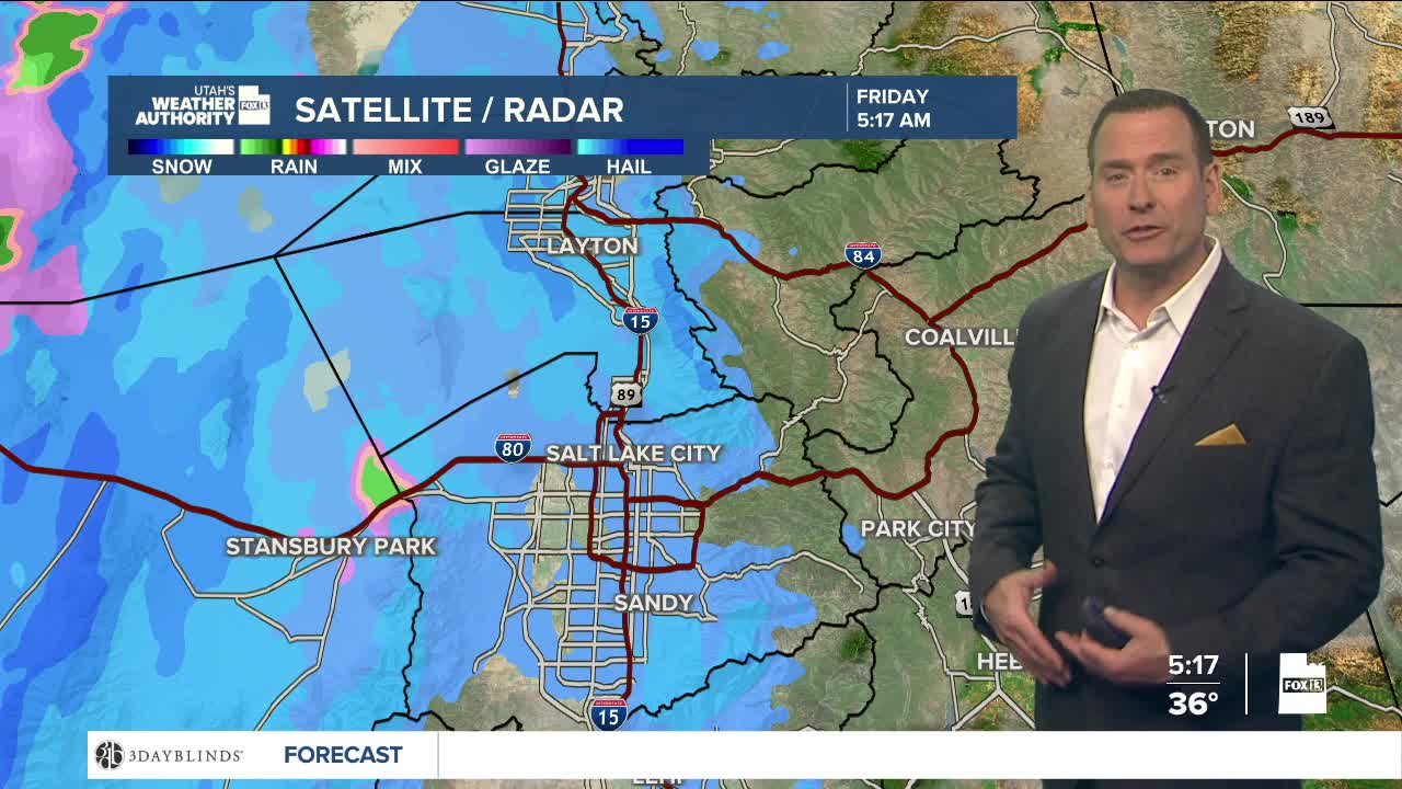
Portions of an atmospheric river that has brought wet weather to the Pacific Northwest will migrate towards northern Utah and initially bring overnight snow showers through early Friday morning, possibly posing problems for the morning commute, especially through the canyons.
Warmer air will begin to move in later Friday as a rain/snow mix is expected for the valleys. However, snow will continue to fall across all northern-central mountains and mountain valleys on Friday, Saturday, and into Sunday morning.
Utah offers rebates for electric snowblowers, heating equipment:
Expected snow accumulations for the northern mountains, central mountains, and Wasatch Plateau will be 1-3 feet, with the Wasatch Back, including Park City and Heber, seeing 6-16 inches. As warmer air moves in on Saturday, snow levels are expected to be above the Wasatch Front with rain showers through most of the day.

Due to the snowfall, the Utah Department of Transportation has activated traction laws in both Big and Little Cottonwood canyons. Travelers going in both directions are required to have the proper equipment.
Here's what UDOT says travelers will need:
Vehicles visiting Big or Little Cottonwood Canyon must have at least 5/32 inch tread depth on their tires. Tires must be M+S or snow tires, depending on the type of vehicle.
AWD/4WD: M + S or M/S tires on all wheels is the minimum requirement. Traction devices such as chains, snow socks, etc. or 3 peak mountain snowflake (3PMSF) tires on all wheels are also acceptable and provide the most reliable traction in severe winter conditions.
- 2WD: 3 peak mountain snowflake (3PMSF) tires on all wheels is the minimum requirement. Traction devices such as chains, snow socks, etc. on at least two drive wheels are also acceptable.
Canyon travel will be the biggest issue on Friday and Saturday. Heavy snow and significant accumulations could force closures of Big and Little Cottonwood canyons due to avalanche mitigation.
