



High-based t-storms could bring dry lightning & gusty winds to the north today. As dry air moves in tomorrow, storms will become more confined to the mountains.
Fire danger is high across Central & SW UT with a Red Flag Warning in effect until 9pm.
A heat wave expected statewide late this week with the hottest temps Saturday - Monday.
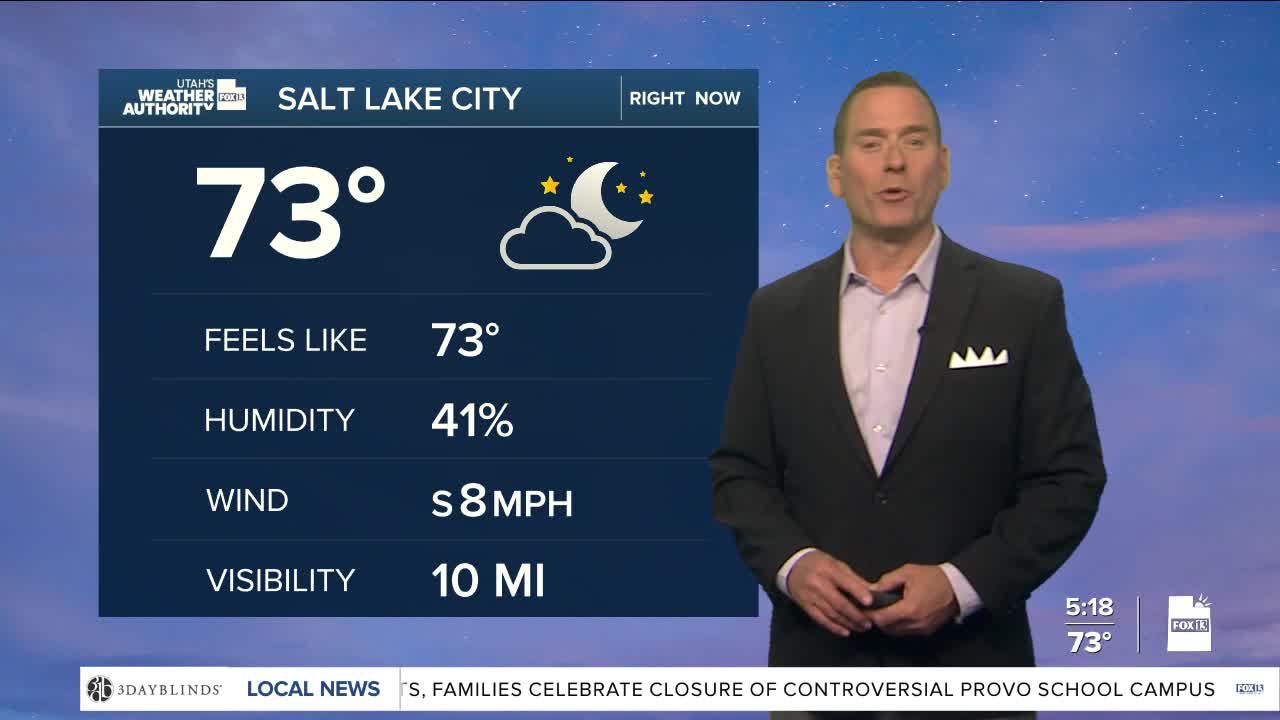
SALT LAKE CITY
Wednesday: Mostly sunny with a 10% chance of late day t-storms. Highs: Upper 90s.
Wednesday Night: Partly cloudy. Lows: Upper 60s.
ST. GEORGE
Wednesday: Sunny. West winds 10-20 mph. Highs: Near 107.
Wednesday Night: Mostly clear & mild. Lows: Mid 70s.