

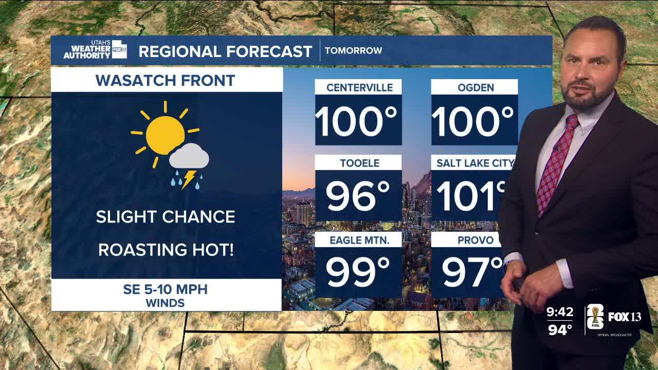

Mostly clear and warm this morning along the Wasatch Front. Plan on active skies continuing for much of the state throughout the ladder half of the day. In fact, our active monsoon pattern isn't going anywhere this week, with daily chances for afternoon and evening showers and thunderstorms across much of the state.

The biggest concern remains heavy rain and flash flooding, especially across southern Utah. Slow-moving storms could quickly flood burn scars, slot canyons and dry washes. A Flood Watch remains in effect Sunday afternoon and evening for much of southwest and south-central Utah.

Temperatures remain hot statewide, even with the moisture in place. Highs will reach the upper 90s along northern Utah this afternoon with triple-digit heat continuing for St. George.

By Tuesday, models suggest the ridge could bring another round of widespread heavy rain as another surge of monsoon moisture moves into the state. While rain chances may taper slightly later this week, scattered afternoon thunderstorms are expected to remain in the forecast.

If you're heading outdoors, especially in southern Utah, keep an eye on the weather. Flash flooding can develop quickly, even if the rain is falling miles away.
