

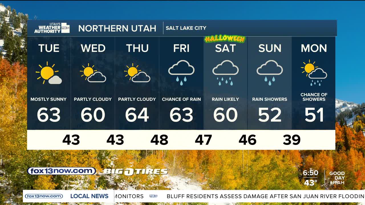


After a chilly start, it's going to be another beautiful late October day!
A weak storm brushing by tonight will bring a few showers to the north. Otherwise, mild & dry most of the week. It'll be a good opportunity to get any yard work or outdoor projects done before much cooler, wet weather settles in this weekend.
Showers will become likely by Friday with widespread and possibly heavy precipitation over the weekend. There's still a lot of uncertainty as to how much rain might fall. With the ground in SE Utah already saturated after the last round of storms and flooding, the possibility of even more flooding remains a concern.
The weekend storm will usher in much colder air, with a good chance of 3-6 inches of snow in the mountains above 8,500 ft.
SALT LAKE CITY
Tuesday: Mostly sunny. Highs: Low 60s.
Tuesday Night: Increasing clouds with a chance of rain & isolated t-storms in the evening, then tapering off overnight. Lows: Lower 40s.
ST. GEORGE
Tuesday: Sunny. Highs: Low 70s.
Tuesday Night: Mostly clear. Lows: Upper 40s.