

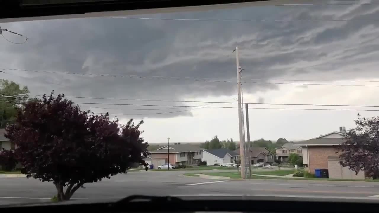


SALT LAKE CITY — It’s been quite a finish to summer in northern Utah.
From monsoon storms and flash flooding to Friday’s severe weather — including a tornado that formed near the Davis County foothills — the final days of summer have certainly kept Utah’s weather interesting.
And now, the calendar is turning the page. Fall officially arrives Tuesday, raising the question: What could the next few months bring?
For Carrie Bluma and her daughter Lola in Fruit Heights, Friday’s storm was an especially memorable way to close out summer.
“We saw it all kind of start from what seemed like closer to Syracuse and then move towards this way. It was, it was gnarly,” Carrie said.
The two were watching the storms when they noticed something unusual in the clouds.
“It was moving really quick, and we noticed a rotation was moving in it,” Lola said. “Usually, you’re seeing the clouds move in one direction, but that rotation was like, oh, that’s new.”
It wasn’t long before they decided it was time to head inside.
“Lola was the adult and said, ‘Hey, we should probably get inside.’ I’m like, ‘Yeah, probably.’ And maybe 15 seconds later, the tornado warning came in,” Carrie said.
Friday’s storms were a dramatic reminder of what summer can bring to Utah. But as fall arrives, attention is turning toward the weather pattern developing over the Pacific.
Utah is heading into fall with a strong El Niño developing, and Utah Climate Center assistant state climatologist Jon Meyer says the pattern may have already played a role in Utah’s summer weather.
“The developing ENSO this summer was partly responsible for our delayed monsoon,” Meyer said. “It got a little bit of a slow start this year, and a lot of that was the effect of the weather pattern's response to the developing El Niño all the way back into June and July.”
Meyer says El Niño will continue influencing weather patterns across the western U.S., but its connection to Utah’s weather is not always straightforward.
“The ENSO effect usually is pretty light for most of Utah,” Meyer said. “The southern latitudes of the state are really the only place that we have statistical significance when we look at the relationship between what the Pacific Equatorial sea surface temperatures are doing and what our winter outlook is doing.”
For fall, Meyer says, "we're looking at a warmer-than-normal fall, but also a wetter-than-normal fall, which we're very much enthusiastic to see.”
That wetter signal could be welcome news after another challenging year for Utah’s water resources.
But exactly how that precipitation arrives — and what happens once winter settles in — remains much harder to predict. For now, Utah is moving from a summer that certainly didn’t go quietly into a fall influenced by a strong Pacific pattern.
And after the storms, heat and monsoon moisture of the past few months, the next chapter is just getting started.
This story was reported on-air by a journalist and has been converted to this platform with the assistance of AI. Our editorial team verifies all reporting on all platforms for fairness and accuracy.