

It's the middle of April, but it felt like a freezer this morning! The cold front that brought the blast of wintery weather yesterday is moving out, but it's impacts will linger.
Lake effect snow was expected to be a wild card with this storm and it certainly changed the game for the morning commute! It mainly fell across Salt Lake & Eastern Tooele valleys before it tapered off. Spotty snow showers could continue over the mountains through the morning.
It's going to become sunny today, but with cold air lingering behind the storm, temps will still be running about 10-15 degrees below average. And with breezy NW winds, it'll feel even colder than it is.
Overnight temps likely won't drop quite as low as this morning, but they'll come close. Freeze warnings will go into effect again this evening and last through noon on Saturday.
Luckily, high pressure building this weekend will keep it sunny and bring a big warm-up!
SALT LAKE CITY
Friday: Partly cloudy with a slight chance of snow in the morning, then becoming sunny. Highs: Upper 40s.
Friday Night: Clear & cold. Lows: Near 30.
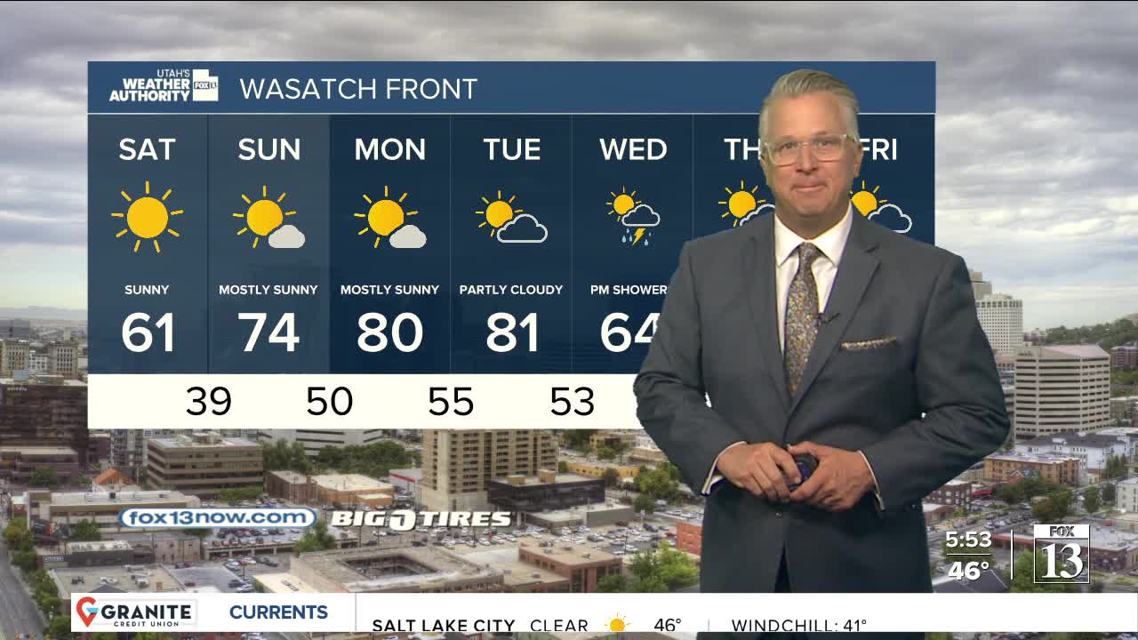
Saturday: Sunny & warmer. Highs: Near 60.
Sunday: Partly cloudy & warm. Highs: Mid 70s.
ST. GEORGE
Friday: Sunny & cooler. Highs: Mid 60s.
Friday Night: Mostly clear. Lows: Near 40.
Saturday: Sunny & warmer. Highs: Upper 70s.
Sunday: Partly cloudy. Highs: Mid 80s.
