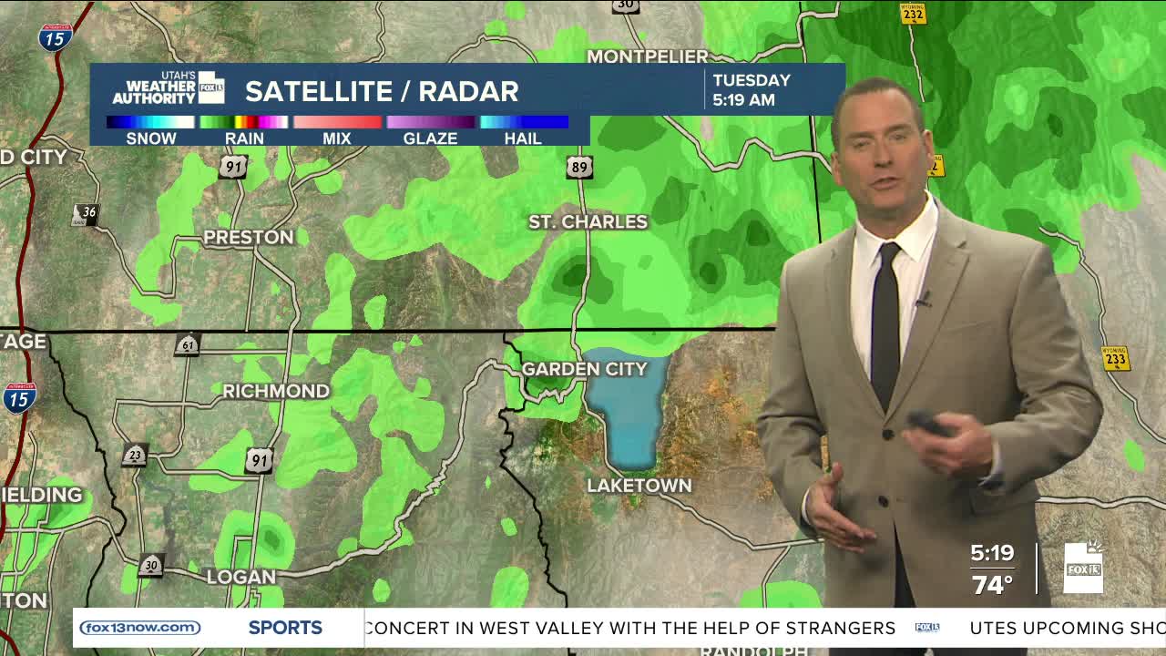


Another warm September day!
SW winds will keep it warm, but could become gusty and lead to high fire danger in Western UT today & tomorrow. That's all ahead of a slow-moving storm that'll make it's way across Utah by the end of the work week.
Cooler, wet weather is expected across Northern & Central UT on Friday with a good chance of showers & t-storms. It's going to dry out and warm up again over the weekend.
SALT LAKE CITY
Tuesday: Partly cloudy & warm with a slight chance of PM showers & t-storms. Highs: Upper 80s.
Tuesday Night: Becoming mostly cloudy. Lows: Mid 60s.
ST. GEORGE
Tuesday: Sunny & warm. Highs: Mid 90s.
Tuesday Night: Mostly clear. Lows: Upper 60s.
