


It's another day of dangerously hot temps across Utah, with Extreme Heat Warnings and Heat Advisories remaining in effect for much of the state. Afternoon temperatures will climb well above normal once again, with highs near 101 for the Wasatch Front, near 111 degrees again for St. George.

However, some relief is on the way. A dry cold front will push through northern Utah later today into Monday, helping drop temperatures over northern Utah early in the work week.
The downside?! The front is also bringing stronger southwest winds and creating critical fire weather conditions across much of the state. Those gusty winds could lead to rapid fire growth near existing wildfires, including the Widemouth 2 Fire, while also increasing the potential for new fire starts.

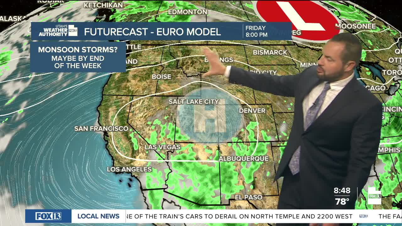
Temperatures will ease slightly behind the front early this week, but the fire danger will remain elevated across eastern and southern Utah. Looking ahead, I'm keeping an eye on a possible return of monsoon moisture to southern Utah by late week. Stay tuned.