

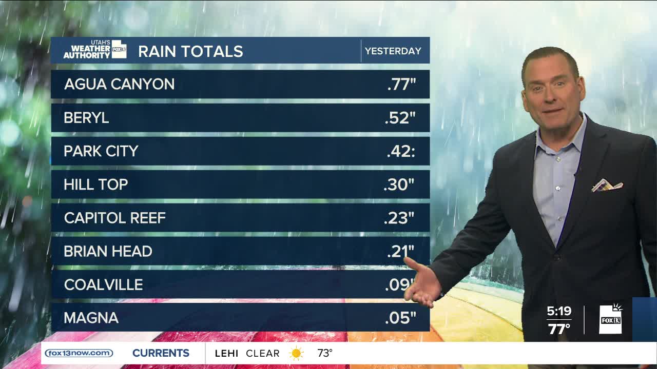


Scattered showers & t-storms are most likely across Eastern Utah today. Isolated storms over SW UT & very low chance along Wasatch Front. Isolated flash flooding possible in Central & Southern UT.
SALT LAKE CITY
Wednesday: Partly cloudy with a 10% chance of showers & t-storms in the afternoon. Highs: Mid 90s.
Wednesday Night: Partly cloudy. Lows: Lower 70s.
ST. GEORGE
Wednesday: Sunny & hot with a 10% chance of PM t-storms. Highs: Near 106.
Wednesday Night: Partly cloudy. Lows: Lower 80s.