



It won't be as much of a scorcher as it was on Sunday, but even though temps will be lower, it's still going to be a hot day!
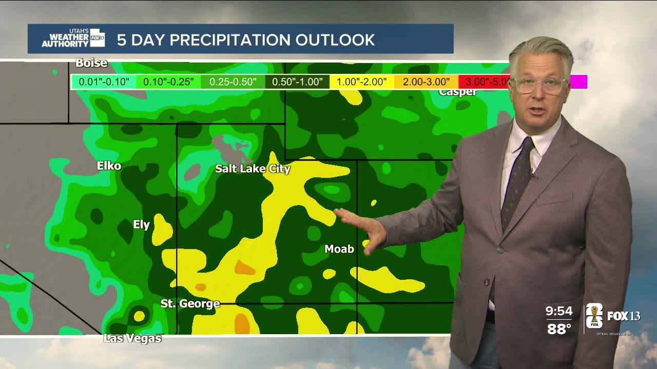
Monsoonal moisture has become widespread and will bring a chance of scattered showers & t-storms, mainly over the mountains across the state today. A mixture of both dry & wet storms are possible across the north. Wetting rains will be most likely across Central & Southern Utah. Any storms could bring heavy rain that could lead to flash flooding, especially in trouble spots like burn scars, slot canyons, and normally dry washes.
Moisture will likely linger into early next week and continue to fuel mainly late day showers & t-storms.
Don't expect much of a break from the heat! Temps will drop slightly, but still hover about 5 degrees above average across the north.
SALT LAKE CITY
Tuesday: Mostly sunny & hot with a 20% chance of showers and thunderstorms in the afternoon. Highs: Near100.
Tuesday Night: Becoming mostly clear & cooler overnight. Lows: Lower 70s.
ST. GEORGE
Tuesday: Mostly sunny. Highs: Near 103.
Tuesday Night: Partly cloudy. Lows: Near 80.