

Happy Earth Day!
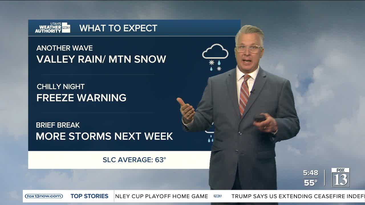
A cold front will cross Utah today, bringing valley rain showers & mountain snow to the north. There could be 2-6" of snow above above 6,000 ft. Valleys could get around .25" of rain through tomorrow.
Gusty winds are expected ahead of the front, this time in Eastern Utah. In the morning, winds will be out of the SW and could gust up to 50-55 mph. This afternoon, winds behind the front will be out of the NW and could still be very gusty through this evening in Castle Country & the Uinta Basin.
Below freezing temps are possible again in the central & SW valleys overnight..
SALT LAKE CITY
Wednesday: Rain showers likely along with a chance of t-storms. Highs will be in the upper 50s in the morning, then several degrees cooler in the afternoon.
Wednesday Night: Mostly cloudy & cooler with rain showers likely. Isolated t-storms are possible. Lows: Near 40.
ST. GEORGE
Wednesday: Sunny & cooler. Highs: Low 70s.
Wednesday Night: Mostly clear. Lows: Upper 40s.
