



Dryer air is expected to dominate this weekend, lowering the chance of showers and thunderstorms for a few days.
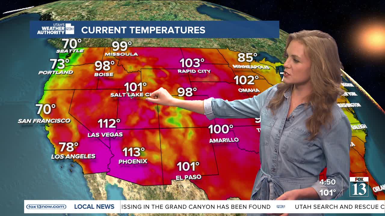
Even with the drier weather, dangerous heat will continue across much of the region through Monday. Temperatures in northwest valleys could climb into the low 100s, while parts of southeast Utah may reach the upper 100s.
Nighttime temperatures are also expected to stay very warm, mostly in the 70s and near 80 degrees. The lack of cooler nights could increase the risk of heat-related illnesses because there is no chance of relief.
Heat Advisories for the Wasatch Front, Zion National Park, and south-central Utah will remain in effect through Monday. An Extreme Heat Warning was added for the Lake Powell area.
By Tuesday, moisture from the southwest is expected to return, bringing a better chance of monsoon storms through much of next week. The added moisture could slightly lower daytime temperatures for a few days.
