

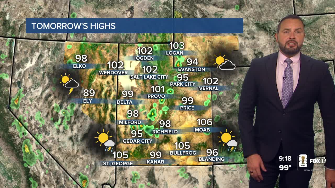

Today is expected to be the hottest day of Utah's summer so far, with Salt Lake City forecast to reach 107 degrees—tying the city's all-time record high.
A strong ridge of high pressure continues to bring dangerous heat across the state, with many northern Utah communities expected to challenge daily and even all-time temperature records.

Extreme Heat Warnings remain in effect, and anyone spending time outdoors should stay hydrated, take frequent breaks, and avoid strenuous activity during the hottest part of the day.
The good news? Relief is on the way.

Temperatures will gradually ease through the week as monsoonal moisture moves into Utah. That means a better chance for afternoon showers and thunderstorms, especially across southern Utah, along with an increasing risk of flash flooding near burn scars and slot canyons.
Enjoy the sunshine if you're headed outside today—but be sure to take the heat seriously.