



Brace yourself for a hot weekend!
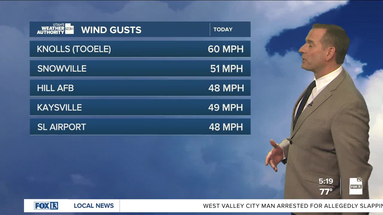
Dry air is making it's way into Utah, but there's still enough moisture in place for isolated showers & t-storms to pop up over Northern & Central UT into Friday. Spotty rain showers could reach the ground, but the main impact will be the possibility of gusty outflow winds. Some could gust as high as 50 mph, or even above.
In SW Utah, gusty SW winds& low relative humidity will keep fire danger high again today.
The first significant heatwave of the year is expected this weekend with record temps possible! Temps climbing into the triple digits in most valleys across combined with minimal relief overnight will make heat-related illness a major concern. Make sure you're taking frequent breaks out of the heat of the day and drinking plenty of water!
Monsoonal moisture will likely move north into Utah early next week, bringing slightly cooler temps and a chance of much-needed precipitation. Any heavy rain could lead to flash-flooding.
SALT LAKE CITY
Thursday: Mostly sunny with a 10% chance of mainly dry PM t-storms. Highs: Mid 90s.
Thursday Night: Partly cloudy. Lows: Upper 60s.
ST. GEORGE
Thursday: Sunny & very hot. Highs: Near 107.
Thursday Night: Warm & clear. Lows: Upper 70s.
