

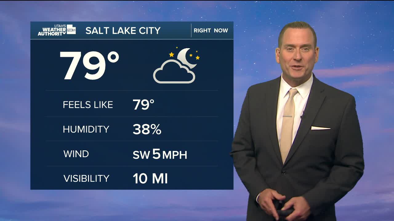


Utah will stay locked in a hot & muggy weather pattern as monsoonal moisture continues streaming into the state. Temps will climb well above average this afternoon, while higher humidity levels will make it feel even warmer.
Scattered showers & t-storms are expected again today and will be most likely over the higher terrain of Southern, Central, & NE Utah. Storms could drift out over adjacent valleys as well. With deeper moisture in place, any slow-moving storms could bring heavy rain that has to drain somewhere! That could lead to flash flooding in typical trouble spots like slot canyons & dry washes. After the big wildfires we've had lately, burn scars are also a big concern. Scorched ground can allow water and debris to quickly rush downhill even during brief storms.
Isolated storms could pop up across the north today, but will be more likely as moisture increases Friday. That will bring a better chance for more widespread thunderstorms along the Wasatch Front and northern mountains heading into the weekend.
SALT LAKE CITY
Thursday: Partly cloudy with a 20% chance of showers & t-storms in the afternoon. Highs: Upper 90s.
Thursday Night: Showers ending in the evening, then mostly cloudy overnight. Lows: Lower 70s.
ST. GEORGE
Thursday: Partly cloudy with a 20% chance of showers & t-storms in the afternoon, some may produce heavy rainfall. Highs: Near 102.
Thursday Night: Becoming partly cloudy with any showers tapering off overnight. Lows: Near 80.