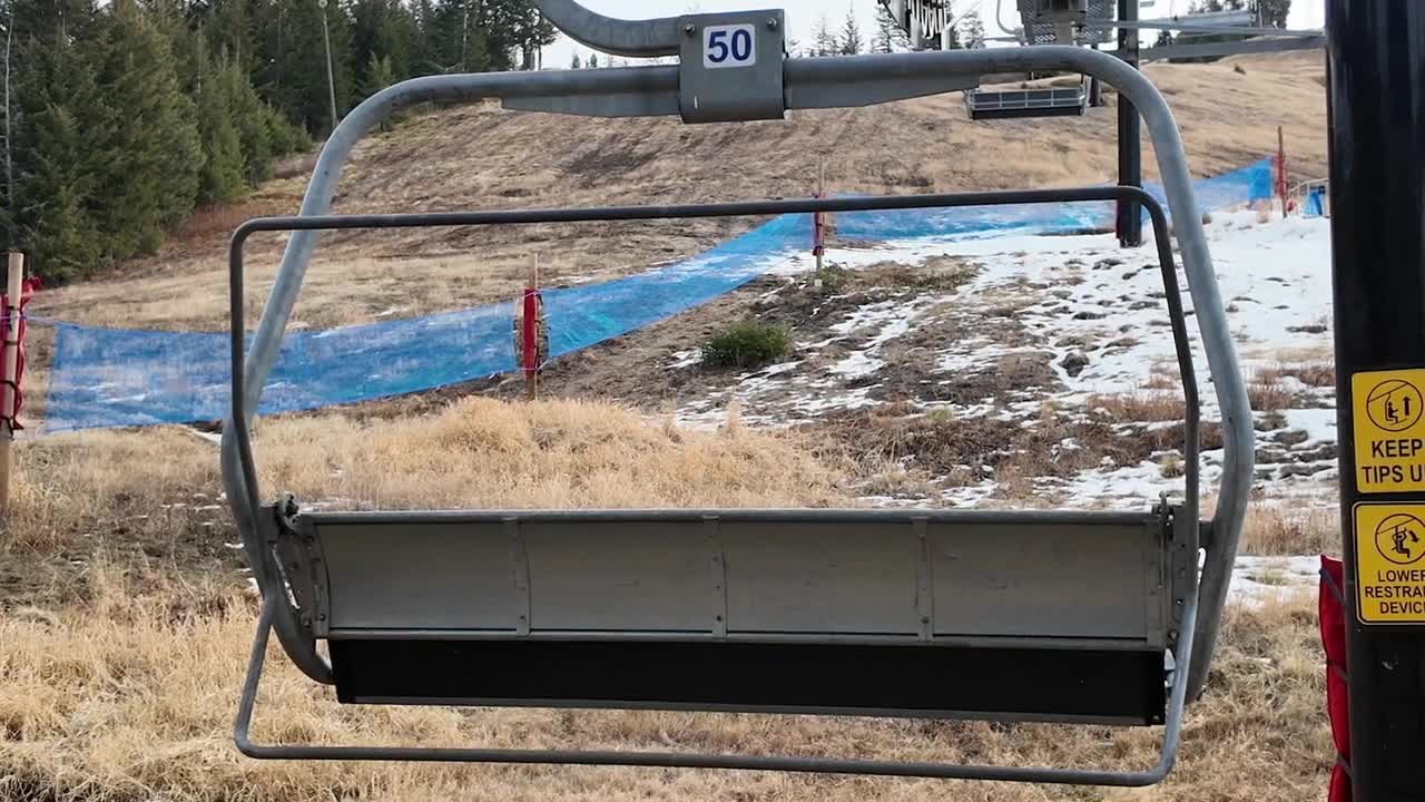


SALT LAKE CITY — Normally, at this time of year, Utah’s snowpack is still building. But this winter, climatologists say we may have already hit the peak, and with a big warmup ahead next week, that will only speed up the melt.
Utah’s snowpack normally peaks in early April. However, most mountain sites across the state are already well below normal. According to Utah Assistant State Climatologist Jon Meyer, some locations are seeing dramatically reduced water potential from the snow that’s fallen this winter.
“Most of the state is looking at 30-70% of normal, more on the low side of that range than not," Meyer explained. "We have some sites in central and southern Utah that are at 20% of water supply. So from this year's point of view, water supplies are going to run a huge deficit.”
That’s because mountain snow acts like a natural reservoir, slowly melting through the spring to supply rivers and reservoirs. If temperatures climb quickly, that melt can happen earlier than normal.

Weather
80 degrees? Already? It's possible, Utah
“However, there's just not a lot of water volume behind it. And so one of the things that will do is with our bare ground, it's looking like we're going to have an earlier melt than usual, especially if we get that heat wave next week,” said Meyer.
There is at least one small bright spot, according to Meyer.
“One of the only shining lights that we have this year is our soil moisture conditions… thanks to all the rain that we were getting over the wintertime,” he said.
That moisture can help vegetation and agriculture in the short term — but without strong snowmelt runoff this spring, it won't last as long as usual. While there’s still time for spring storms to help, experts say years like this are a reminder of just how important water conservation can be in Utah
