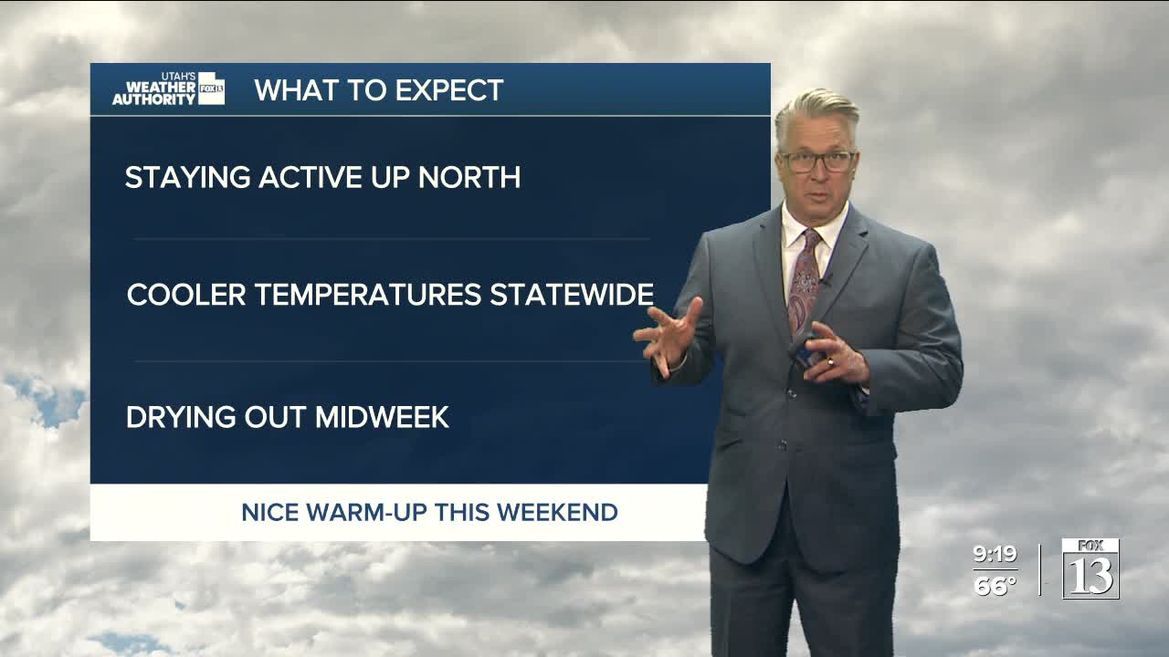


Temperatures will remain mild today, but rain and thundershowers will shift to northern Utah and southwest Wyoming this afternoon. While some valleys north of the city could see isolated storms, not much rain is expected.
Rain and possible thunderstorms could pop up in nearly all parts of Utah and southwest Wyoming on Tuesday as a low-pressure system moves through the region. By Tuesday night, the heaviest showers are expected to shift into eastern Utah and may continue into Wednesday morning before ending.
Temperatures will dip to average highs by Wednesday. High pressure will build late Wednesday, bringing warmer weather back to the area by the weekend.
While most weather models show the warm pattern sticking around, some show another storm system sliding in from the Pacific Northwest over the weekend.
