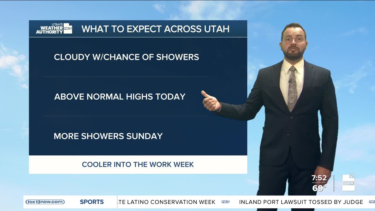

Good Saturday morning, Utah! Across northern Utah, we're seeing mostly cloudy skies with a few sprinkles in some areas. A southwest flow is in place, keeping temperatures mild this morning and slightly above average this afternoon.

Moisture moving through the northern half of the state will keep a risk of isolated showers and thunderstorms in the forecast. Daytime highs are expected to reach the low 80s along the Wasatch Front, with a stray thunderstorm or two this afternoon.

Better chances for showers will arrive late tonight into early Sunday as another weak system brushes by, and we may hear a few thunderstorms overnight.
On Sunday, skies will become more active as a trough of low pressure approaches from the northwest. Scattered showers and thunderstorms are possible from Sunday afternoon into Monday morning.

A cold front moving through late Sunday night into Monday will bring more widespread storms. Some lingering showers are expected into Monday morning, but skies should begin to clear by Monday afternoon. Temperatures will drop to the mid 70s on Monday before rebounding with warmer highs by midweek.
Southern Utah will remain mostly dry, with temperatures warming into the low to mid 90s through midweek, following highs in the upper 80s this weekend.

