

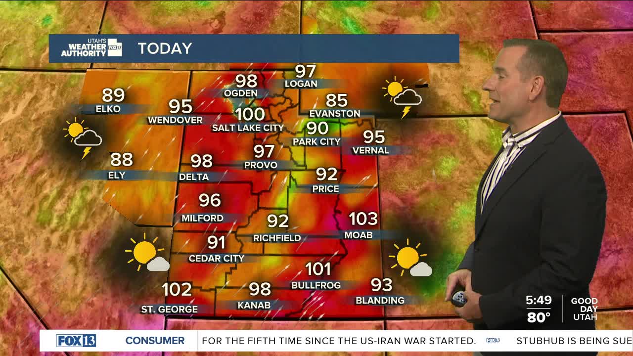


The heat is on! It hit the triple digits for the first time this year in Salt Lake City yesterday. The average first day at or above 100F is July 6, so we were only one day off!
It won't be quite as hot as yesterday, but temps will climb well above average today. A weak storm is brushing by to our northwest. Moisture associated with that will bring a slight chance of dry t-storms, mainly over the mountains of Northern & Central Utah. Any storms that do pop up could bring strong wind gusts. As dry air moves in, PM storms will be less likely tomorrow.
Very hot weather will return later this week with near record temps possible.
SALT LAKE CITY
Monday: Partly cloudy with a 20% chance of showers & t-storms in the afternoon. Highs: Upper 90s.
Monday Night: Partly cloudy. Lows: Near 70.
ST. GEORGE
Monday: Sunny & very hot. Highs: Near 105.
Monday Night: Clear. Lows: Upper 70s.