

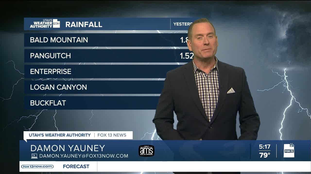


We wanted rain and now we've got it in spades!
A surge of monsoonal moisture will bring the threat of more showers & thunderstorms today, some of which could bring heavy rainfall and lead to flash flooding and debris flows. Storms will form over the mountains around noon, then drift out over the valleys by mid-afternoon and into the evening.
Moisture has moved into Northern Utah will where thunderstorms are more likely than yesterday, but will still be spotty compared to Central & Southern Utah.
Storms might not be as likely on Sunday if slightly drier air moves in. Otherwise, more of the same through the weekend and into much of next week.
SALT LAKE CITY
Friday: Partly cloudy with a 50% chance of showers & t-storms in the afternoon. Highs: Mid 90s.
Friday Night: Showers & t-storms will taper off by late evening, then partly cloudy & slightly cooler overnight. Lows: Near 70.
ST. GEORGE
Friday: Partly cloudy with a 20% chance of showers & t-storms in the afternoon. Some storms could produce heavy rainfall. Highs: Mid 90s.
Friday Night: Becoming partly cloudy with showers & t-storms tapering off overnight. Lows: Near 80.