

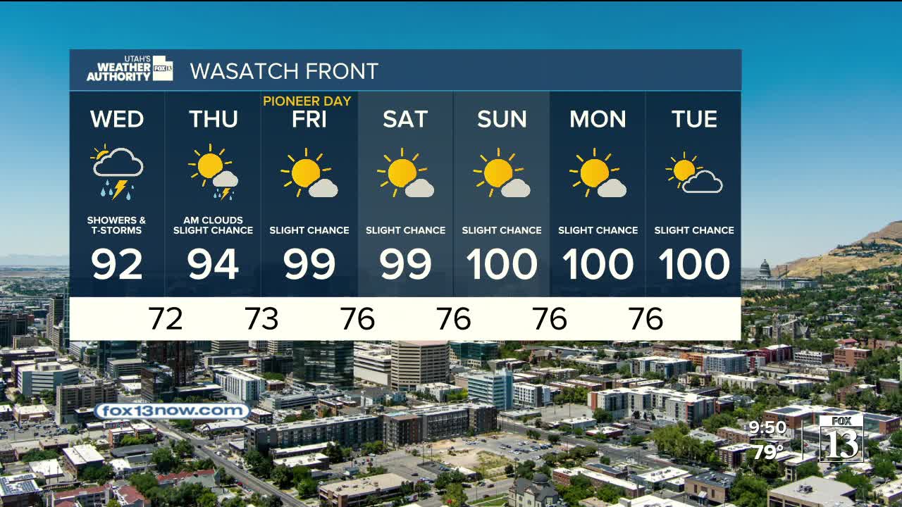


Showers and thunderstorms are expected to continue across Utah and nearby states today as a strong monsoon weather pattern remains in place.
Flash flooding will remain a major concern through at least Friday, especially in areas prone to flooding such as burn scars, slot canyons, dry washes and slick-rock terrain.
Theses storms have the potential of bringing wind gusts between 35 and 55 mph, small hail, frequent lightning and periods of heavy rain.
The Weather Prediction Center placed much of the region under a “marginal risk” (level 1 of 4) for excessive rainfall through Friday. A larger portion of Utah, especially areas south of Interstate 80, is under a “slight risk” (level 2) Tuesday and Wednesday, indicating a higher chance of flash flooding.
The active weather pattern is expected to continue into Wednesday, with additional rounds of showers and thunderstorms likely. Northern Utah and southwest Wyoming could see unusually heavy rainfall Wednesday.
While the exact storm pattern later this week remains uncertain, monsoon moisture is expected to stay in the region.
