

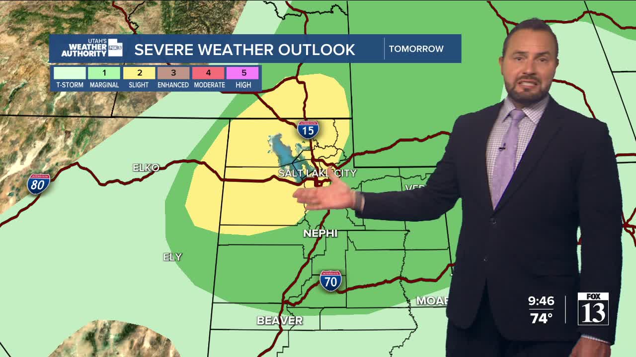

Another surge of monsoon moisture is increasing across the state this weekend. This means scattered showers and thunderstorms will develop each afternoon, with storms favoring the higher terrain, but a few could develop over the valleys as well.

Temperatures remain hot across the state with some cooling for northern Utah. Daytime highs will reach the mid-90s up north, around 104 for St. George.
A weak front will bring another chance for showers Saturday night, mainly across northern and northwest Utah.
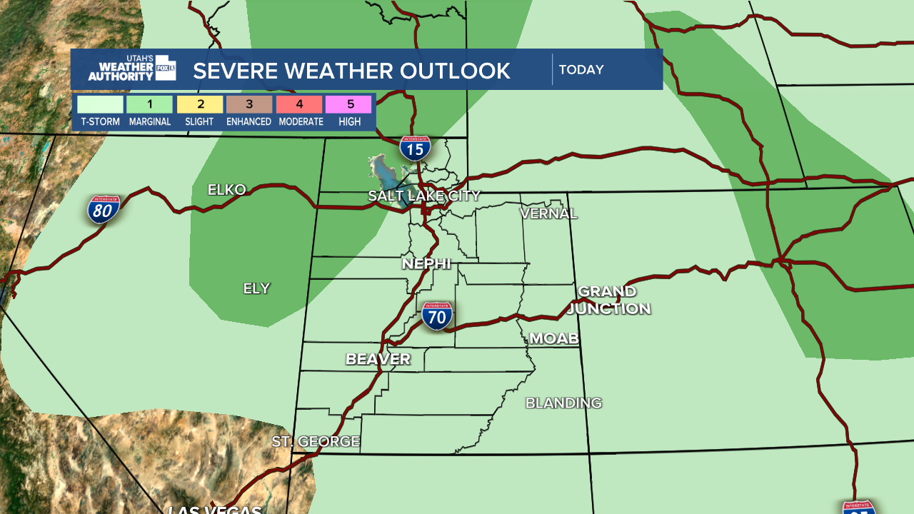
Temperatures cool slightly Sunday before drier air moves in early next week, which will lead to fewer afternoon storms and slightly above normal temperatures once again. Stay tuned.