



Happy November, Utah!
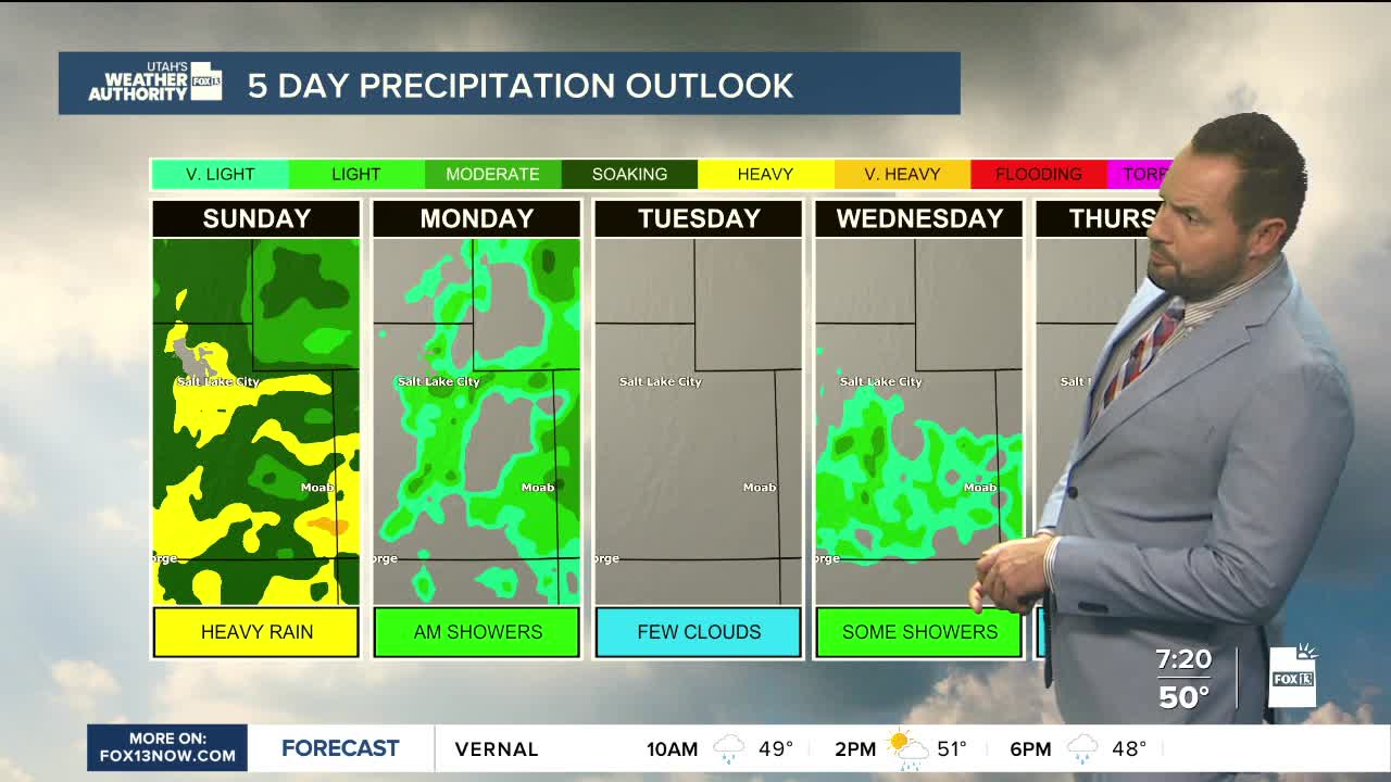
We're kicking off the new month with another round of widespread rain across Utah today as a strong atmospheric river brings moisture into the region. The heaviest rainfall is expected across southern Utah, where already saturated ground could lead to renewed flooding.
Some areas, including the Pine Valley Mountains and Boulder Mountain, could pick up another 1 to 3 inches of rain. St. George, Cedar City, Zion Canyon and Kanab could see more than an inch.
Rain will also continue across northern Utah and the Wasatch Front, with many valleys potentially picking up more than an inch by Monday morning.
Snow levels will drop throughout the day, falling below 8,000 feet by Sunday evening. Mountain communities could see 3 to 6 inches of snow, with a foot or more at higher elevations and up to 20 inches in the upper Cottonwoods.
Conditions should gradually improve Monday morning, followed by a brief break before another, weaker storm arrives Wednesday.