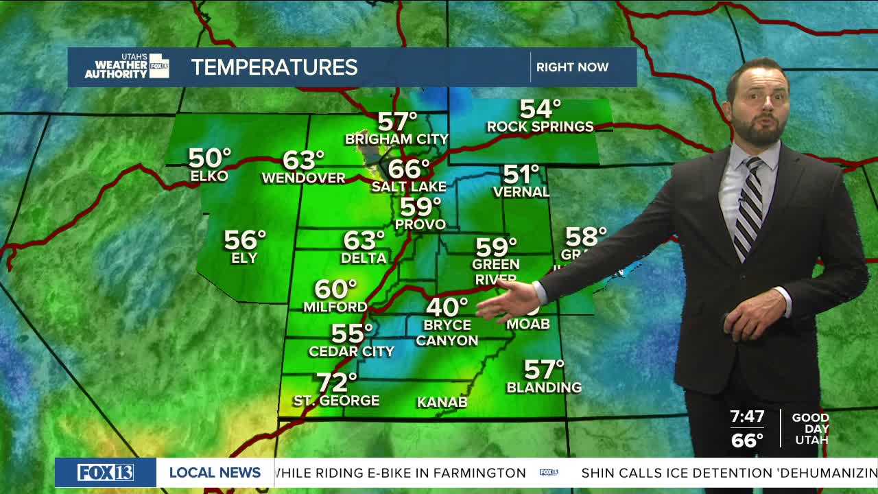


A mix of sun and clouds to kick off Sunday, with less moisture in place today. Things are drier than they’ve been the past couple of days, and most areas will stay calm through the early part of the day.

By the afternoon, some leftover moisture could spark a few afternoon thunderstorms, mainly in the mountains. A stronger storm isn’t out of the question, with gusty winds or small hail possible, but most storms will be short-lived and fade by evening.

Monday stays mostly dry with just a small chance of an afternoon pop-up storm. By Tuesday, winds pick up and storm chances slowly increase through midweek. Most storms early in the week will be high-based—more wind than rain—but Thursday and Friday could bring cooler temps and more meaningful rainfall, especially in northern Utah.

Highs drop into the 70s by the end of the week, giving us a break from the warmup early in the week.

