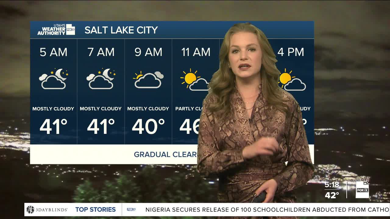


A weak storm system moved through the region last night, but it is gradually clearing out. The minor rain that came with it has mostly ended, although some lingering clouds will slowly clear as the day goes on. Afternoon temperatures are expected to be 5 to 10 degrees warmer than usual.
Northwest winds will remain in place as high pressure stays strong off the coast this morning. The mild pattern will stick around through the end of the week. By mid-week, a weak weather system will move over northeast Wyoming tomorrow. While this storm is mainly to the east, it could still impact parts of Utah.
Strong winds could blow through the northern tier of the state, with gusts as high as 45 to 50 miles per hour.
Elevations above 7,000 may pick up some snow from this passing low, but most will stay dry through the week.
