

A slow-moving storm to our south will bring more wet weather across parts of Utah the next couple days.
A few showers have popped up in the north, but valley rain & mountain snow are most likely across Southern UT today & tomorrow. A few more inches of snow are possible above 7,000 ft, but the best chance of heavy snow is about 8,000 ft. Great news with ski season just around the corner, as of now Brian Head is planning to open Friday!
Lighter precipitation, including high elevation snow, will develop in the north today & last into Friday. There's just a slight chance of rain showers in the valleys today, but it'll be more likely tomorrow.
It looks like we'll dry out this weekend with cooler temps expected.
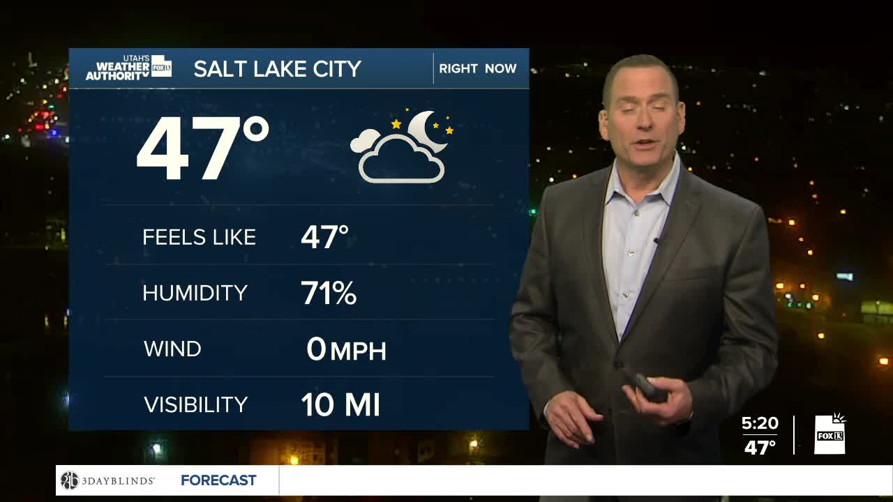
SALT LAKE CITY
Wednesday: Partly cloudy with a 20% chance of rain. Highs: Mid 50s.
Wednesday Night: Mostly cloudy. 20% chance of rain showers. Lows: Near 40.
ST. GEORGE
Wednesday: Rain likely. Highs: Upper 50s.
Wednesday Night: Mostly cloudy with a chance of rain in the evening, then a slight chance overnight. Lows: Mid 40s.
