

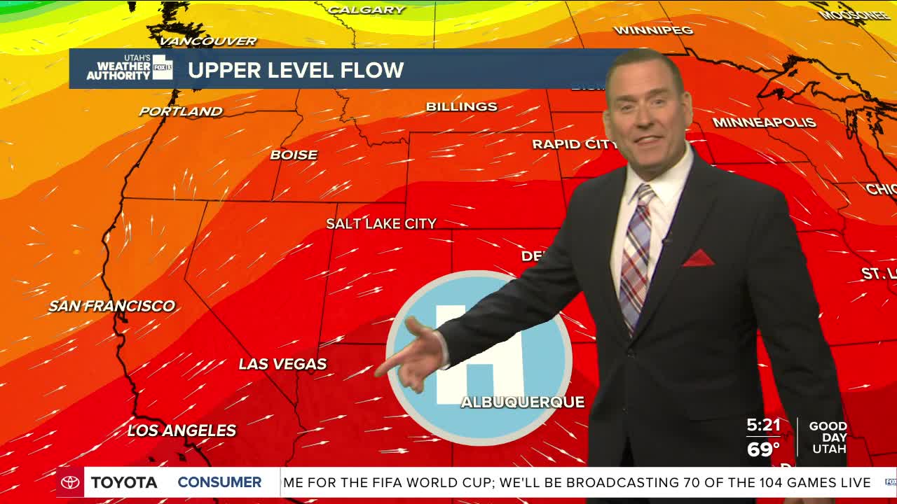


What a difference a week makes!
After a cool start on Sunday & Monday, it's going to be hot heading into the holiday weekend. There's still a chance of high-based showers & t-storms in the north that might bring some gusty winds this afternoon & early evening. They just won't be as likely or widespread as yesterday.
Fire danger is still high, but luckily winds will be much lighter than earlier this week.
It's going to be sunny & gradually warm up through the weekend. So, it might not be hot as a firecracker on the 4th of July, but it'll feel like it! It'll climb into the low 90s along the Wasatch Front on Independence Day and above 100 in Lower Washington County & the Lake Powell area.
Hot weather will stick around through much of next week.
SALT LAKE CITY
Friday: Partly cloudy with a slight chance of PM t-storms. Highs: Low 90s.
Friday Night: Mostly clear. Lows: Mid 60s.
Independence Day: Sunny & hot. Highs: Mid 90s.
Fireworks Forecast: Mostly clear. 10 pm Temps: Low to Mid 80s.
Sunday: Sunny & hot. Highs: Upper 90s.
ST. GEORGE
Friday: Sunny & hot. Highs: Upper 90s.
Friday Night: Mostly clear. Lows: Near 70.
Independence Day: Becoming partly cloudy & getting even hotter! Highs: Near 102.
Fireworks Forecast: Partly cloudy. 10 pm Temps: Low to Mid 90s.
Sunday: Partly cloudy & hot. Highs: Near 102.