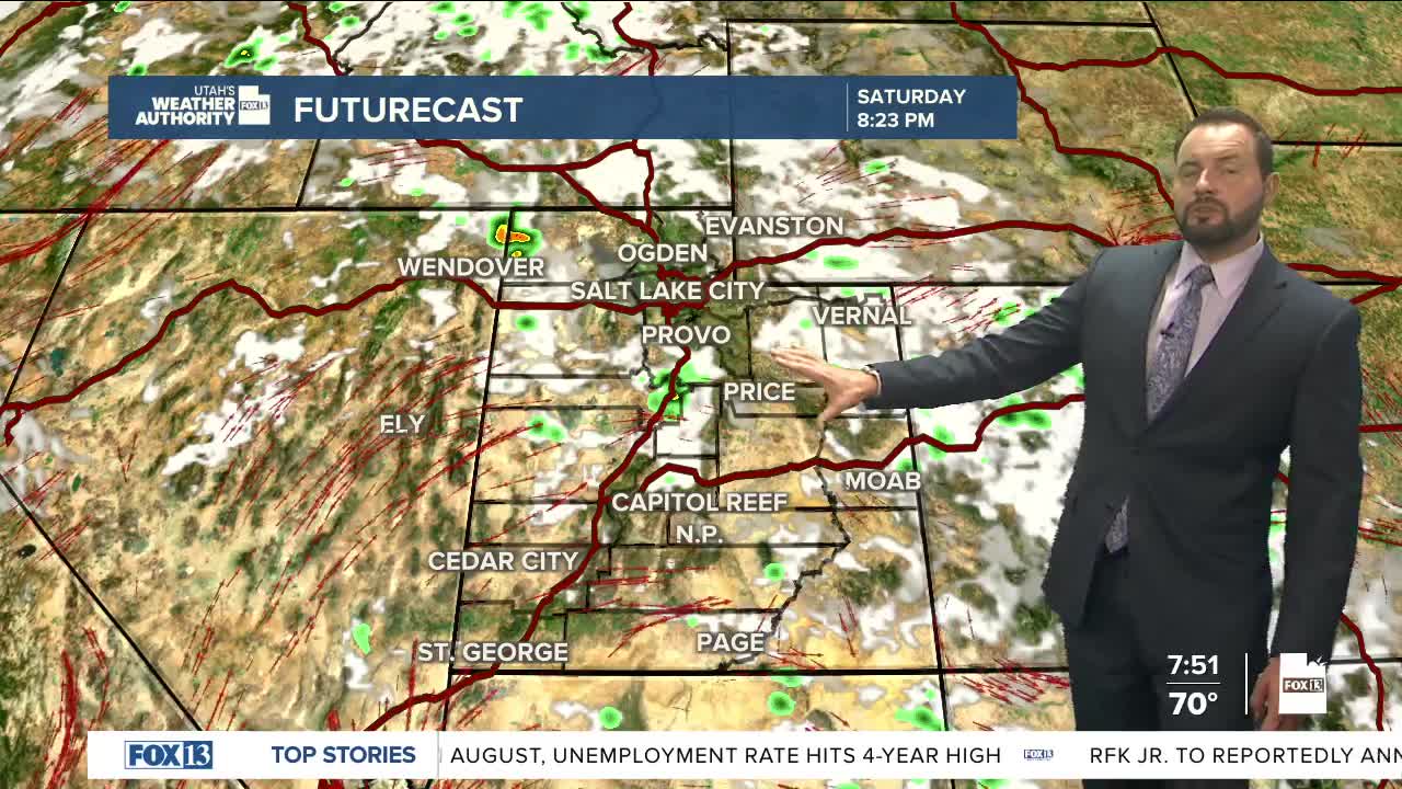
It’s shaping up to be another active day across the state with the risk of scattered showers and thunderstorms nearly statewide.

A weak low-pressure system moving through will help spark storms and keep temperatures a little cooler than Friday.

Flash flooding remains a concern this afternoon for all recreational areas in southern Utah, with the risk extending into northern Utah as well. Avoid areas near recent burn scars, slot canyons, normally dry washes, and other low-lying spots prone to flooding.

Highs will reach the mid-80s in northern Utah, with low 90s expected in St. George.
As the storm shifts east on Sunday, moisture levels will drop, leaving only a slight chance of storms over the higher elevations. Temperatures will warm back to near or slightly above seasonal averages.

We’ll start the new work week dry with typical hot summer weather, but guidance suggests another round of showers and cooler-than-normal temperatures could arrive later in the week. Stay tuned.


