


The hot temperatures remain over the region today as well, with mostly sunny skies and temperatures climbing into the 90s across the valleys by afternoon. Scattered showers and thunderstorms will be possible again this afternoon and evening.
Storms that develop could produce gusty winds and locally heavy rain. Northern Utah is under a "Slight" risk for severe storms today...meaning strong wind gusts to 70 mph are possible with 1" hail.

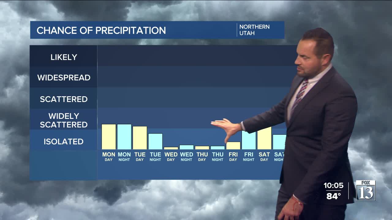
The heat sticks around through much of the week, with temperatures remaining several degrees above average. Storm chances will be limited, but a few isolated thunderstorms could still pop up each afternoon primarily over the mountains.
Overall, the weather pattern is turning hotter and drier, with the best chance for measurable rain becoming limited through midweek.