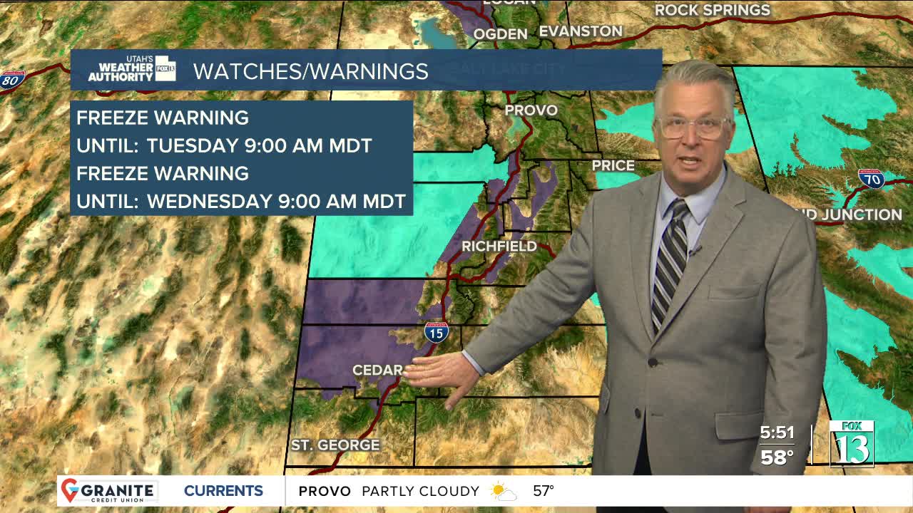


A cool spring storm will bring valley rain & mountain snow through Tuesday. The best chance of snow will be in the central & southern mountains with 3-8 inches possible above 6,500 ft. Brian Head & the Tushars could get 8-12 inches!
After a mid-week break, a colder storm will move in later this week with temps dropping just below freezing on Friday & Saturday mornings. There's a chance of a mix of rain & snow in the northern valleys by Thursday with snow down to the valley floors by Friday! If we do get snow, it would melt off pretty quickly.
SALT LAKE CITY
Monday: Partly cloudy with a chance of rain showers & a slight chance of t-storms, mainly in the afternoon. Highs: Near 60.
Monday Night: Becoming mostly cloudy. Lows: Near 40.
ST. GEORGE
Monday: Partly cloudy with a chance of showers & t-storms. Highs: Mid 60s.
Monday Night: Showers likely. Lows: Mid 40s.
