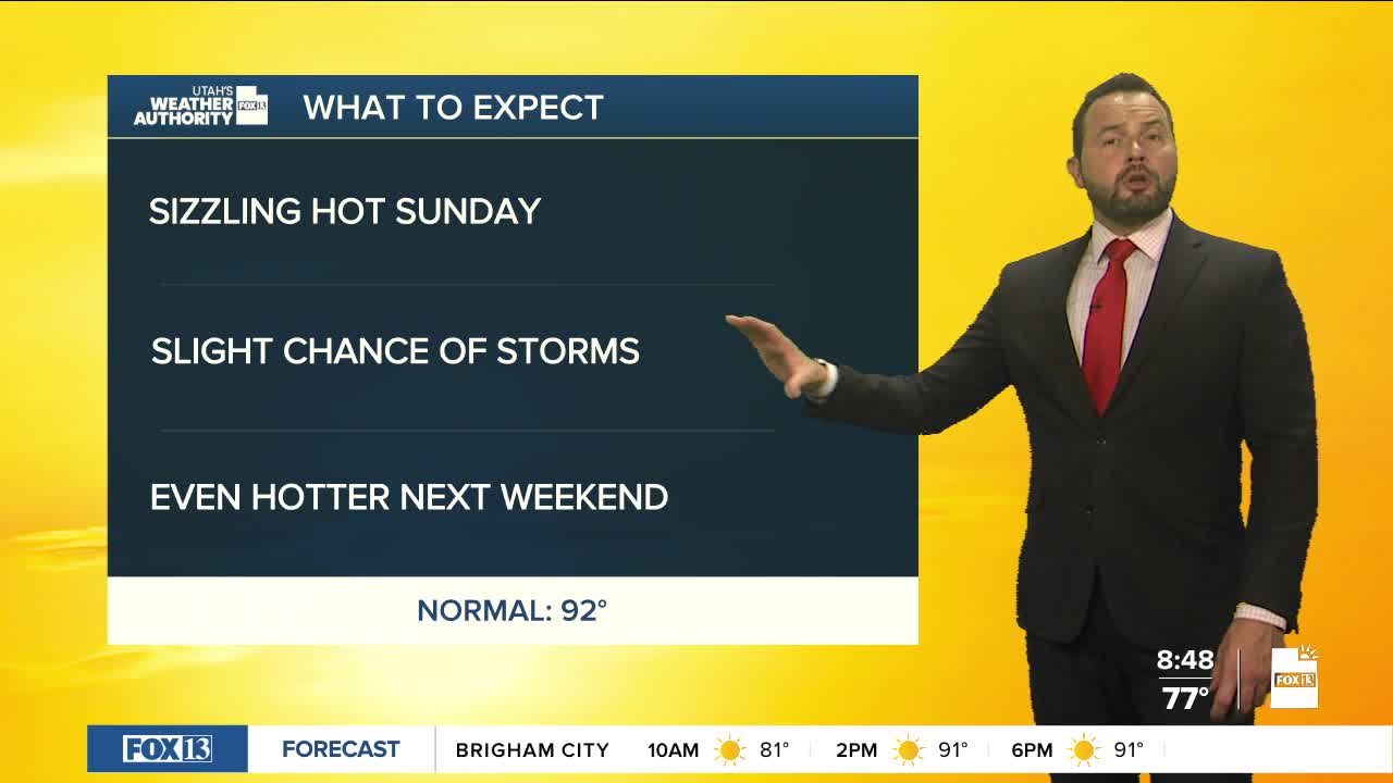

We're heating up this sunny Sunday with highs climbing into the upper 90s along the Wasatch Front. A few spots are forecast to hit 100 degrees, with Salt Lake International being one of them.
Southern Utah will see a few more clouds as a weak disturbance moves in from the Desert Southwest. Rain chances remain low, but an isolated shower or thunderstorm could kick up gusty winds and lightning.
Temperatures will back off just a bit across northern Utah early in the week, with a few high-based showers and thunderstorms possible near the mountains Monday and Tuesday. Most areas will stay dry, but any storms that develop could bring strong outflow winds and lightning.
Then, the heat really starts building again late next week. High pressure is expected to strengthen over the region, pushing many Utah valleys back above 100 degrees by Saturday. Lower elevations in southern Utah could reach 105 to 110 degrees, with the heat likely sticking around into early next week.
