

It's going to be another warm day with near record heat! Take advantage of it, because a storm will bring another round of cooler, wet weather tomorrow.
Out ahead of the storm, gusty winds are expected across Eastern Nevada & Western Utah today. Areas of blowing dust are possible and if there's anything in the yard you think might get blown away, be sure to secure it early in the day!
A cold front will slide across the state tomorrow. Cold air spilling in behind it will knock temps down significantly. The front will move into Eastern Utah by Wednesday night, but out ahead of it the winds will become strong and gusty.
The brunt of the storm is still expected to be north of Utah, so the best chance of wet weather for us will be north of Interstate 70. Valley rain & mountain snow is expected...mainly above 6,000 ft.
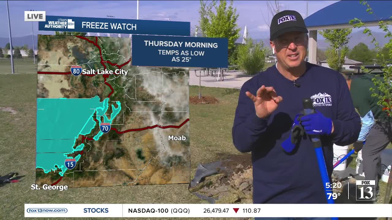
Showers will linger into Thursday. Some rural valleys could drop back down below freezing on Thursday, Friday, & Saturday mornings.
SALT LAKE CITY
Tuesday: Mostly sunny, warm, & breezy. South winds 10-20 mph. Highs: Near 80.
Tuesday Night: Mostly clear. Lows: Near 50.
ST. GEORGE
Tuesday: Becoming sunny & breezy with areas of blowing dust possible. SW winds increasing to 15 to 25 mph by late afternoon. Highs: Mid 80s.
Tuesday Night: Mostly clear with winds decreasing overnight. Lows: Mid 50s.
