

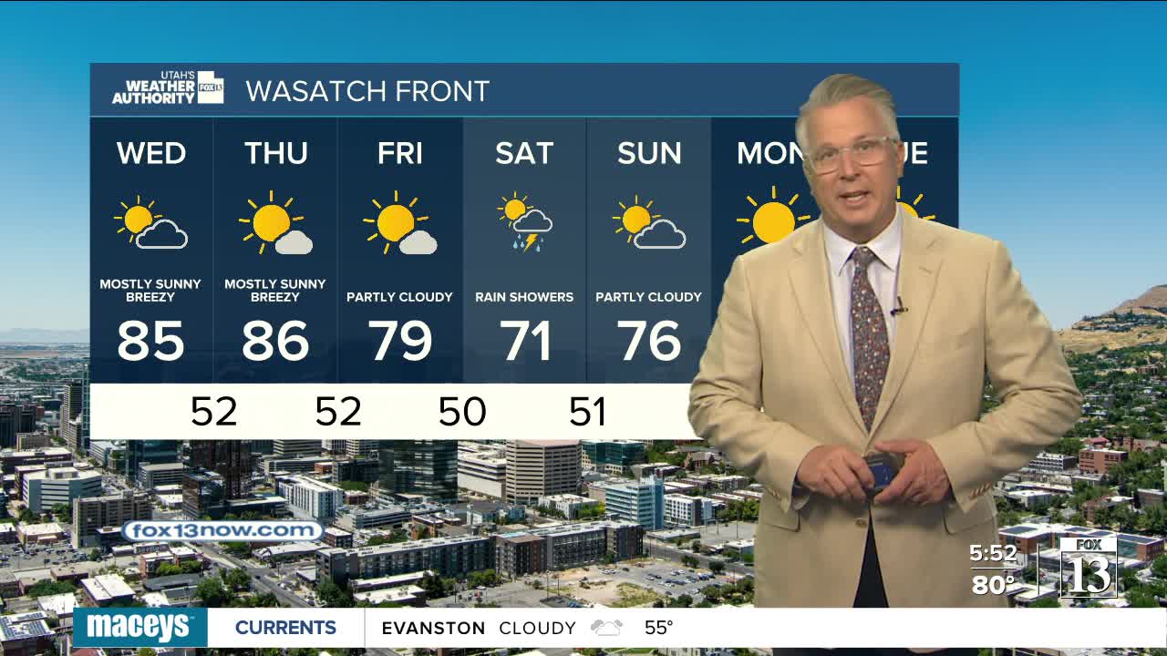


Showers & t-storms are likely across Northeast & East Central UT, but also possible in the north. Mainly in the morning, but possibly lingering into the afternoon. They'll likely taper off before the evening commute.
Gusty south winds are expected across Western Utah today, then become widespread across much of Central & Southern Utah on Wednesday. Dry air will continue to move in, so when gusty winds become most likely in the Eastern Valleys on Thursday, fire danger is expected to be high.
The wind will be ahead of storm parked to the west of Utah for the next few days. The storm will slide across Northern Utah on Friday, bringing cooler, wet weather. Moisture will likely be limited. So, while showers will be possible, the storm doesn't look like it'll be a big rain-maker.
It looks like it'll warm up and dry out this weekend.
SALT LAKE CITY
Tuesday: Becoming partly cloudy after morning showers, with a 20 percent chance of more showers & t-storms in the afternoon. Highs: Mid 80s.
Tuesday Night: Partly cloudy & cooler. Lows: Upper 50s.
ST. GEORGE
Tuesday: Sunny & breezy with SW winds 15-25 mph in the afternoon. Highs: Near 90.
Tuesday Night: Mostly clear with breezy winds decreasing after midnight. Lows: Lower 60s.