



Showers and thunderstorms will spread north across the state through this afternoon. Some storms could produce heavy rain, strong winds, and dangerous flash flooding, especially in poor drainage areas.
Clouds and rain should help keep temperatures close to average.
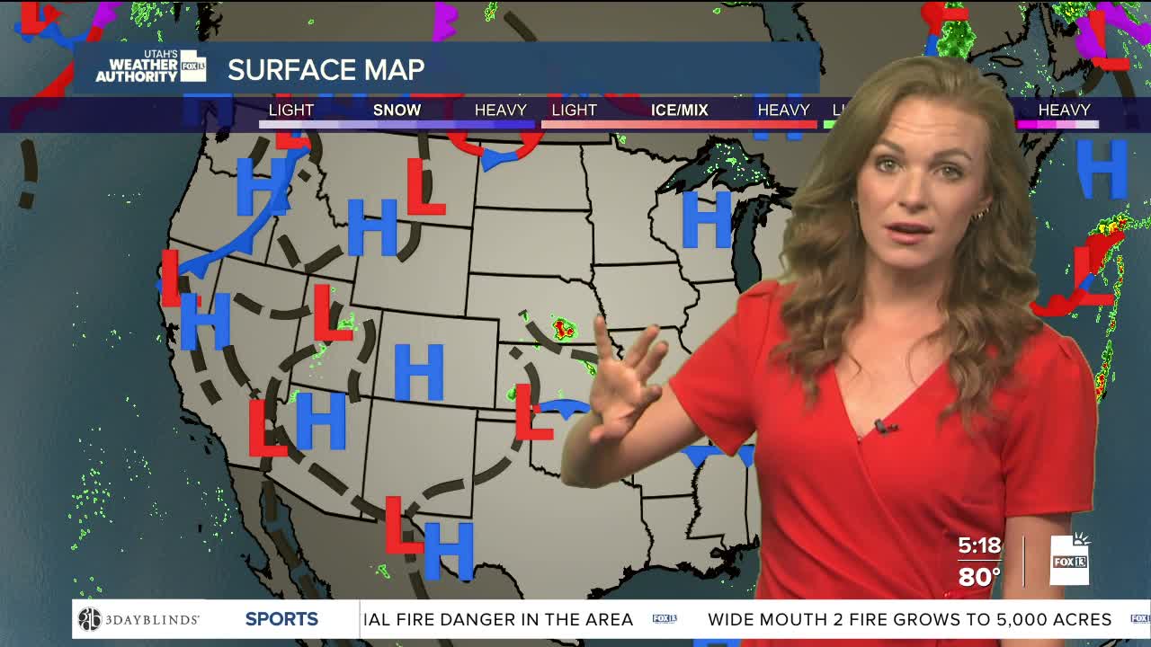
Starting tomorrow, high pressure is expected to strengthen over the western half of the US. That will push much of the moisture out of the region and lower the chance for storms through the weekend.
At the same time, temperatures are expected to climb dramatically. The hottest weather is likely Saturday and Sunday, with valley areas facing the greatest risk for heat-related illness.
Overnight temperatures will stay warm in some areas, which could limit relief from the heat.
By early next week, temperatures may cool slightly as a weather system moves into the Pacific Northwest.
Fire weather concerns are also expected to increase later this week. Dry air, hot temperatures, and low humidity could create dangerous wildfire conditions across much of Utah, especially in the western part of the state.
