

The first weekend of September is going to be off to a stormy start!
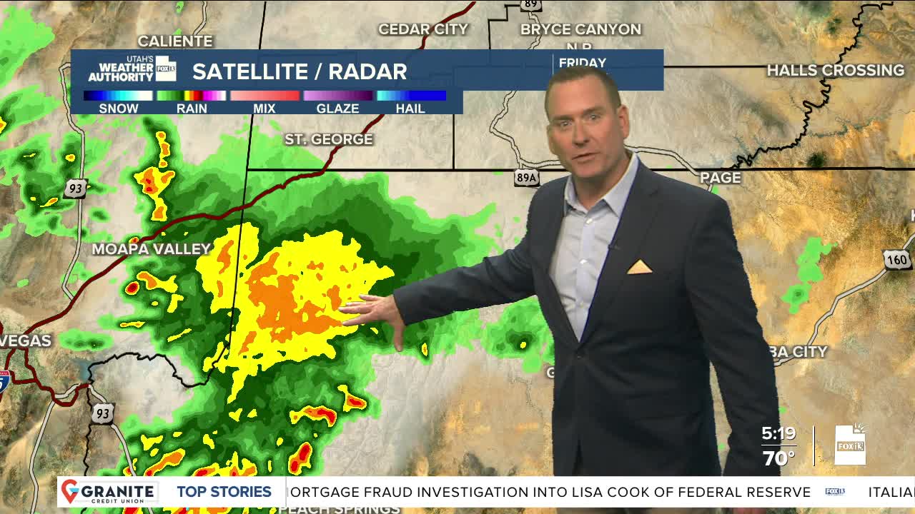
Monsoonal moisture will peak today & tomorrow, bringing scattered showers & t-storms and an increased threat of flash flooding. The best chance of storms and the possibility of heavy will be across Southern & Central Utah this afternoon & evening.
There's a slight chance of storms in the north today, but they'll be much more likely tomorrow. At the same time, storms will decrease across the south on Saturday as dry air starts to make it's way back into the area.
Storms will continue to wind down Sunday. Dry & breezy early next week.
SALT LAKE CITY
Friday: Partly cloudy with a 20% chance of showers & t-storms in the afternoon & evening. Highs: Upper 80s.
Friday Night: Partly cloudy with a slight chance of showers. Lows: Mid 60s.
Saturday: Partly cloudy with rain showers likely & a chance of PM t-storms. Highs: Low 80s.
Sunday: Partly cloudy with a slight chance of showers & t-storms. Highs: Mid 80s.
ST. GEORGE
Friday: Partly cloudy with showers possible in the morning, then a 50% chance of showers & t-storms in the afternoon & evening. Highs: Near 90.
Friday Night: Mostly cloudy with showers & isolated t-storms overnight. Lows: Near 70.
Saturday: Partly cloudy with a 30% chance of showers & t-storms. Highs: Near 90.
Sunday: Mostly sunny & warmer with a slight chance of t-storms in the morning. Highs: Low 90s.
