

Happy Weekend, Utah!
It's been a cold start to the weekend for Northern Utah with mostly clear skies. Clouds will increase today along with gusty winds as stronger southwesterly flow develops. A few isolated showers are possible by the afternoon, mainly along the spine of the state.
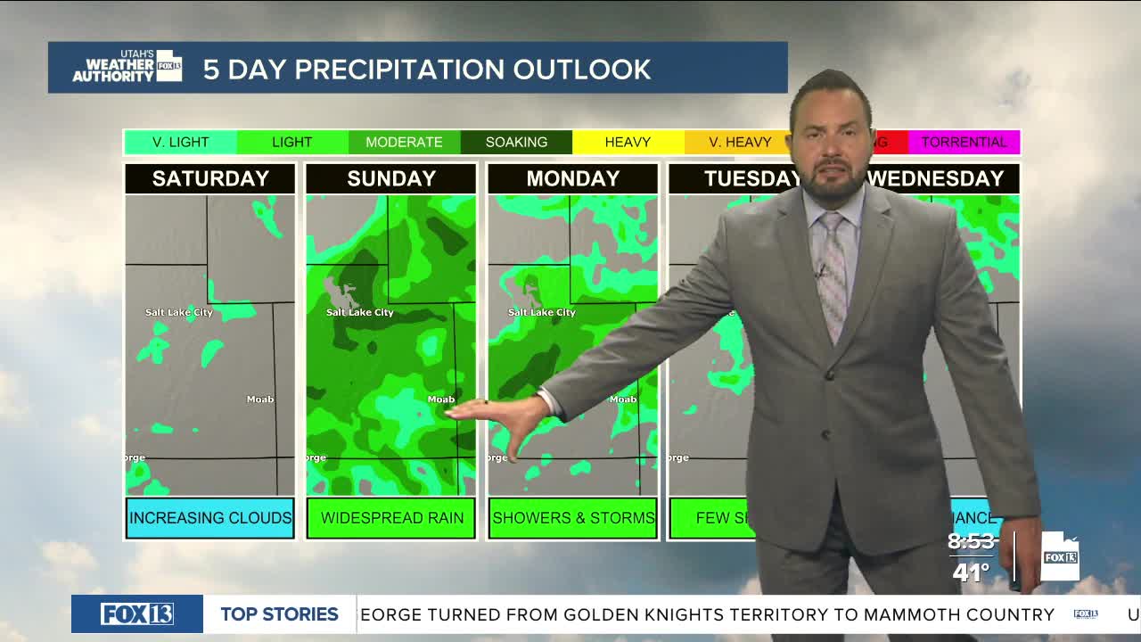
Moisture is increasing as a Pacific storm system is slowly moving closer to Utah, setting up a stretch of unsettled weather through early next week. The largest surge of moisture will move in overnight into tomorrow, bringing widespread rain and mountain snow through Sunday. The Wasatch Front and Wasatch Mountains are expected to see the brunt of the precipitation during that time. Snow levels will remain fairly high, generally between 7,000 and 8,000 feet, keeping most valleys in rain.
A second storm quickly follows on Monday, bringing another round of widespread precipitation with little break in between. Snow levels will drop slightly with this system, down to around 6,500 to 7,500 feet. By the time both storms move through, northern Utah will pick up a solid amount of moisture. Mountain areas can expect roughly 6 to 12 inches of snow, with higher totals possible in the upper Cottonwoods. A weaker system may bring additional light precipitation to northern Utah on Tuesday. Beyond that, the forecast becomes less certain, but the active pattern could continue into late week.
For now, expect a soggy start to the week—and a reminder that winter isn’t quite ready to leave the mountains.
