
Sunny skies are kicking off your Sunday, with much calmer weather across the state. The low-pressure system that brought severe weather to southeast Utah on Saturday has shifted east, making way for near-seasonal highs and mostly clear skies.
Most valleys will top out in the upper 70s to 80s, while Lower Washington County warms into the low 90s.
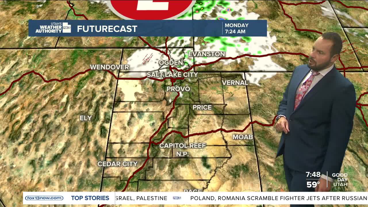
Looking ahead to Monday, a clipper storm will slide through northern Utah during the morning, bringing some passing clouds and a few mountain showers.
Temperatures will dip about five degrees from Sunday as a cold front moves through. By midweek, high pressure builds back in, allowing for another warmup.
Calm conditions are expected to hold through Thursday before more active weather makes a return heading into the weekend. Stay tuned for updates.
